


DELMARVA - The weekend in Sussex County will start off calm, but don’t get too comfortable—the weather is gearing up for a dramatic shift. A high-pressure system will briefly settle in, providing lighter winds and clearing skies, but it won’t stick around for long. A strong cold front is already moving in from the Midwest and Great Lakes, and by midday Saturday, it will charge through, bringing gusty winds, falling humidity, and a noticeable temperature drop.
Friday night: A quiet lead-up to change
Friday night will be relatively quiet, with temperatures hovering in the low 40s. Some cloud cover will move in as winds shift, signaling the approach of the next weather system. While conditions will stay dry, the increasing clouds and southerly breeze will keep temperatures from falling much lower.
Saturday morning: mild, but clouds increase
By Saturday morning, Sussex County will wake up to a noticeable change. Temperatures will climb into the mid-50s ahead of the approaching front, and the breeze will start picking up. While most of the area is expected to remain dry, a few spotty showers could develop, mainly over southern New Jersey and the Delmarva Peninsula. However, these will be light and short-lived.
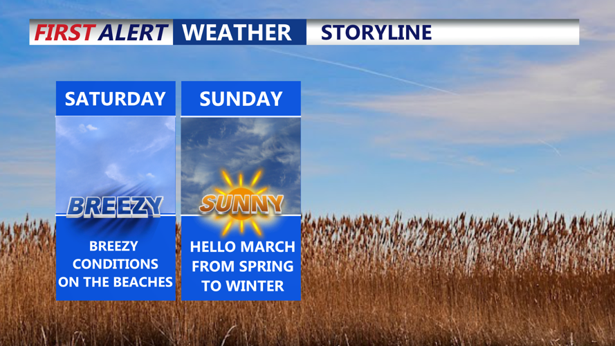
Saturday afternoon: winds pick up, temperatures drop
The real shift happens in the afternoon. The cold front will barrel through the region, sending gusty northwest winds in its wake. Gusts could exceed 35 mph, and the dry air mass behind the front will cause humidity levels to plummet. Temperatures may briefly spike into the low 60s before quickly falling. Fire weather concerns will also come into play, as dry conditions combined with strong winds could create an elevated fire risk.
Saturday night: winter makes a comeback
After sunset, the cold air will take over, and Sussex County will feel the difference. Temperatures will tumble into the low 20s, with wind chills making it feel even colder. Winds will remain gusty overnight, making for a blustery and winter-like night. If you’re heading out, dress warmly, as the combination of wind and cold will make it feel like the teens.
early Sunday morning: a frigid start
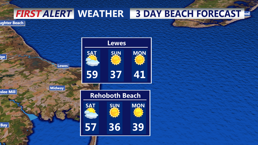
Sunday morning will be a cold one, with actual temperatures in the upper teens to low 20s. Winds will finally begin to settle, but the early morning chill will be a stark contrast to Saturday’s mild start. High pressure will start to build back in, bringing sunny but cold conditions through the day.
Looking ahead: Calmer but chilly
By Sunday afternoon and into Monday, the high-pressure system will remain in place, keeping things dry but chilly. Temperatures will stay below normal for this time of year, with highs only reaching the 30s and 40s. However, by Tuesday, milder air will start creeping back in, leading to a warming trend before the next storm system arrives midweek.
For those planning outdoor activities this weekend, enjoy the mild start on Saturday, but be ready for the sharp drop in temperatures and gusty winds later in the day. Stay updated on fire weather conditions and bundle up Saturday night into Sunday morning, as winter makes a brief but noticeable return.