





DELMARVA - This morning will be partly cloudy, mild, and muggy, with temperatures into the upper 60s to low 70s across the peninsula.

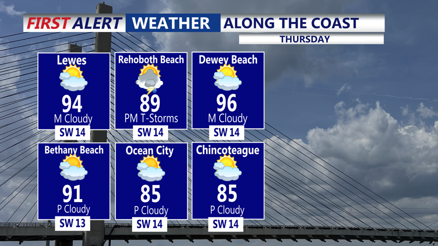
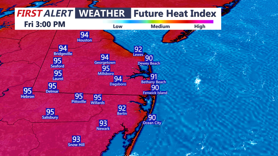
Today will turn hotter and more humid across Delmarva. Skies will be partly sunny, with highs climbing into the low 90s for many inland locations. Feels like temperatures will be a few degrees higher. A few isolated showers or thunderstorms may develop by Friday evening as unsettled weather begins to approach the region. Some storms could bring the threat of damaging winds. The Storm Prediction Center has the area in a "Marginal" risk for severe storms.

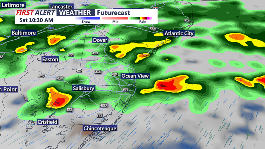
A cold front will slowly move through Delmarva late Friday into Saturday, bringing a better chance for showers and thunderstorms. Rain chances may begin as early as this evening in some spots, but coverage is expected to increase late Friday evening into Friday night as the front gradually sags southeast. Scattered showers and storms will remain possible through Saturday as the front slowly clears the region by late Saturday night.

Drier weather returns Sunday, with precipitation chances diminishing across Delmarva. Sunday looks partly cloudy, with highs generally in the mid 80s.

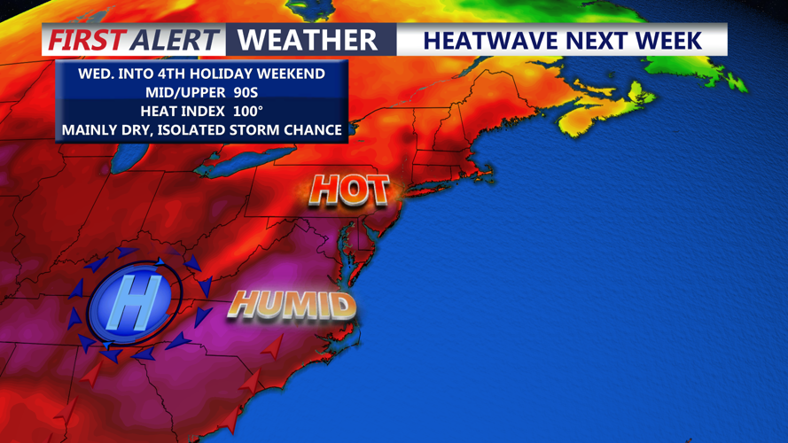
Looking ahead to next week, heat will begin building back into the region by midweek. Confidence is increasing that a strong ridge of high pressure will develop from the Great Lakes into the Mid-Atlantic and Northeast. As a result, heat index values in the 90s to near 100 degrees will be possible across Delmarva during the second half of next week. Just in time for the 4th of July holiday weekend!
