



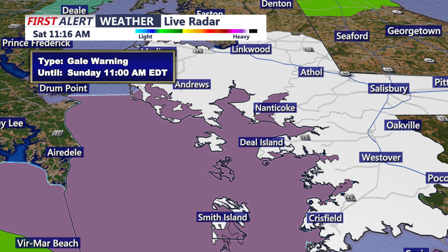
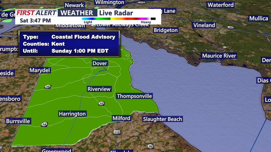

A wet and windy Sunday is ahead for Sussex County as the remnants of Hurricane Isaias move toward Delmarva, bringing widespread rainfall, gusty winds and the possibility of isolated thunderstorms through early Monday morning.
Rain will begin spreading across southern Delaware early Sunday morning, with showers becoming more widespread as the day progresses. The heaviest rainfall is expected during the afternoon and evening, when occasional downpours could create hazardous driving conditions and localized flooding in low-lying and poorly drained areas.
Temperatures will remain in the 60s during the morning before climbing into the upper 60s and lower 70s during the afternoon. Increasing east to southeast winds will accompany the approaching storm system, with gusts potentially reaching 45 mph, particularly in exposed coastal locations.
Beach communities, including Lewes, Rehoboth Beach, Dewey Beach, Bethany Beach and Fenwick Island, could experience periods of wind-driven rain and rough surf. Inland communities, including Georgetown, Millsboro, Seaford and Laurel, will also face periods of heavy rainfall and gusty conditions.
The National Weather Service indicates that an isolated strong to severe thunderstorm is possible later Sunday, although the overall severe weather threat remains low. Any stronger thunderstorm could produce locally damaging wind gusts and an isolated tornado.
Marine conditions will become increasingly hazardous. A Small Craft Advisory is in effect for Delaware's Atlantic coastal waters from early Sunday morning through 6 a.m. Monday, with seas potentially reaching 7 to 10 feet. Boaters are urged to remain in port until conditions improve.
Rainfall may continue into Sunday evening as the remnants of Isaias cross the Mid-Atlantic region. The heaviest precipitation should gradually diminish overnight, although scattered showers and areas of drizzle could linger into early Monday morning.
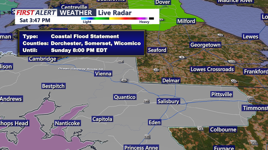
Residents should secure loose outdoor objects, prepare for possible isolated power outages and avoid driving through flooded roadways. Those living along the Delaware Bay should also remain alert for minor tidal flooding around Sunday's morning high tide.
Conditions are expected to gradually improve Monday as the storm system pulls away from the region, although lingering showers and cloudy skies may continue into part of the day.
