



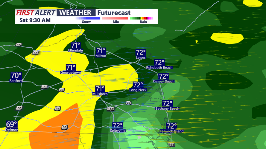


DELMARVA - A wet and unsettled Saturday is expected across Sussex County as multiple rounds of rain move through the area from early morning into Saturday night.
Showers are expected to become more widespread during the morning, with low clouds and reduced visibility possible at times. A few thunderstorms may also develop, especially later in the day.
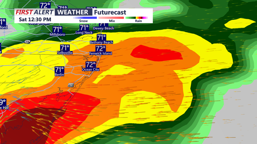
Rainfall could become locally heavy during the afternoon and evening. While the overall flash flooding threat has decreased somewhat, Sussex County remains one of the areas more likely to see heavier rainfall.
Many locations could receive around an inch of rain through Saturday night, with isolated totals approaching 2 inches where heavier bands develop. Ponding on roads, poor drainage flooding and localized flash flooding will be possible, especially in areas that have already received recent heavy rain.
Motorists should use caution during periods of heavier rain, when visibility could quickly drop and water may collect on low-lying roads.
Another round of showers and a few thunderstorms is possible Saturday evening into the first part of Saturday night. Rain chances should begin to decrease toward early Sunday morning, although scattered showers and patchy fog may linger.
Conditions are expected to gradually improve later Sunday, with a more significant stretch of dry and tranquil weather arriving Monday and continuing into the middle of next week.
