



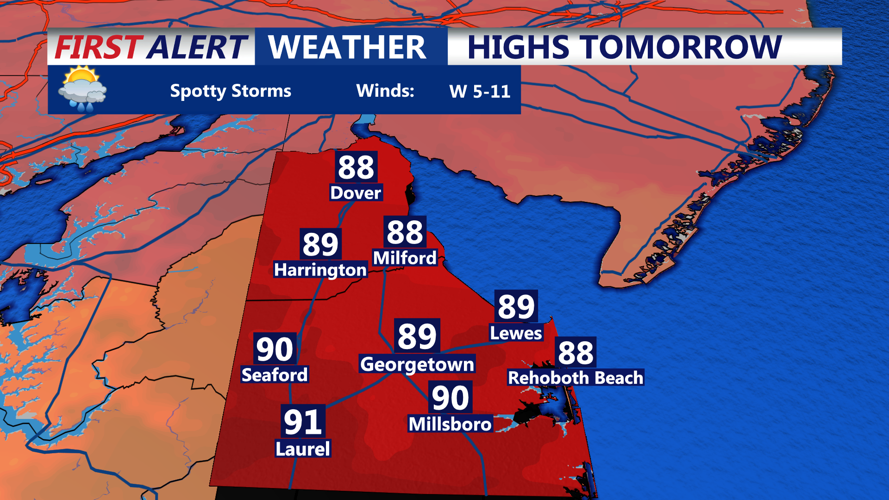

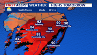

DELMARVA - Warmth and humidity will continue building across Sussex County from late Sunday through Monday as southerly flow strengthens ahead of a more active weather pattern later in the week.
Late Sunday evening and overnight, skies will remain partly to mostly cloudy with increasing humidity. While scattered showers may linger farther north across parts of the Mid-Atlantic, most of Sussex County is expected to remain relatively quiet overnight. Patchy lower clouds could develop toward Monday morning.
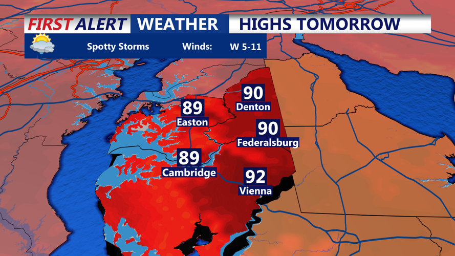
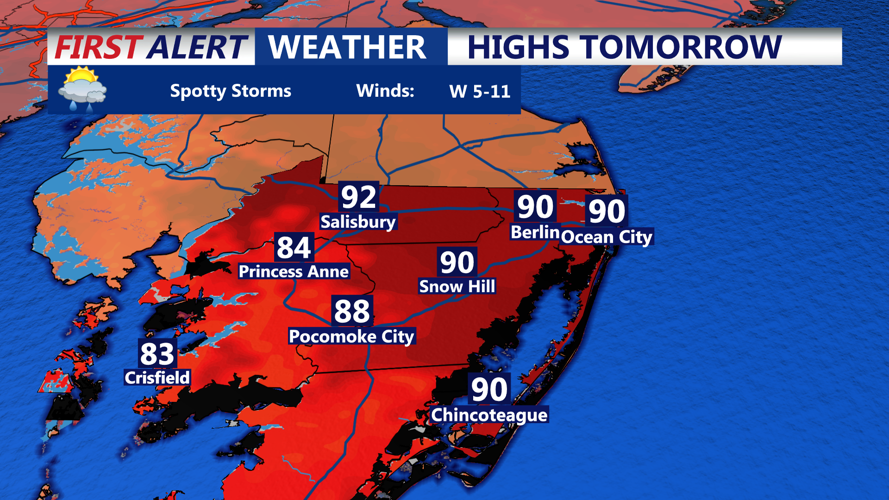
Monday should begin with areas of cloud cover before skies gradually become partly sunny. Temperatures will climb into the upper 80s to around 90 degrees inland, with somewhat cooler conditions near the beaches. Dew points in the upper 60s to low 70s will make the air feel noticeably more humid.
Most of Monday is expected to remain dry. An isolated afternoon or evening shower or thunderstorm cannot be ruled out, but the chance remains low. Any storm that develops could briefly produce heavy rain and gusty winds.
The bigger weather concern arrives after Monday. Heat and humidity are expected to intensify Tuesday, when temperatures across parts of Delmarva could reach the mid-90s and heat index values could approach 100 degrees.
The pattern also becomes increasingly favorable for multiple rounds of thunderstorms Tuesday through Thursday. Some storms during that period could become severe, bringing damaging winds, large hail and an isolated tornado threat. Repeated rounds of heavy rain could also increase the risk of flash flooding.
