


For decades during colonial times, Pennsylvania and Maryland argued over the southern border of the Three Lower Counties that would eventually become Delaware.
Both colonies had surveyors who held draft maps of the region. All agreed that Cape Henlopen was to be the eastern point of the border. Pennsylvania placed the Cape at its true location. Maryland's map mistakenly had it at what is now Fenwick Island.
In 1769, King George III approved the Maryland map. It was only after that Maryland officials learned of their mistake and unsuccessfully attempted to get the decision changed. It could have cost Delaware about 1,000 square miles of land.
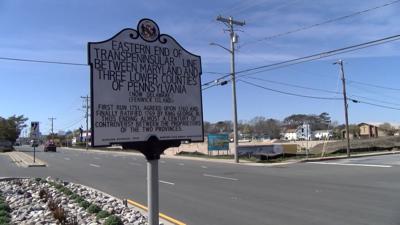
The marker commemorating the Eastern End Of The Transpeninsular Line can be found in the middle of Coastal Highway near 145th St. in Ocean City.