


DELMARVA - Sussex County, Delaware, will endure a bitterly cold weekend as Arctic air blankets the region ahead of a potential winter storm early next week.
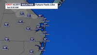
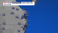
Saturday night will see temperatures plunge into the teens and low 20s across towns like Georgetown, Lewes, Rehoboth Beach, Seaford, and Millsboro. The frigid air will be accompanied by west-northwest winds of 15 to 25 mph, making wind chills even more biting. Sunday is expected to remain cold despite mostly sunny skies, with highs topping out in the upper 20s to mid-30s.
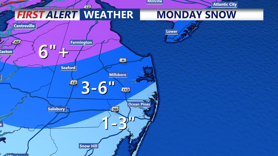
The cold air sets the stage for a significant winter storm poised to impact the Mid-Atlantic starting late Sunday night. Forecasters are closely monitoring the development of a potent shortwave system currently emerging from the Rocky Mountains. This system is expected to undergo cyclogenesis, with a surface low-pressure system forming and tracking eastward through the Central U.S.
Current projections suggest the surface low will pass near the southern Delmarva Peninsula or eastern North Carolina by Monday afternoon. The exact track of the system remains uncertain, with models showing variations that could significantly affect snowfall totals in Sussex County.
Meteorologists caution that while some guidance suggests the heaviest snow may stay to the south, the system’s strength and atmospheric dynamics could shift the snow shield farther north, bringing more significant impacts to southern Delaware.
Residents should prepare for the possibility of accumulating snow late Sunday night through Monday, with potential lingering impacts into Monday night. Those planning to travel early in the week are urged to stay updated on forecasts as confidence in the storm’s track and intensity improves.
