


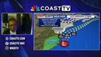
In this Weather 101, First Alert Meteorologist Bob Trihy discusses the latest drought monitor and rain to come.
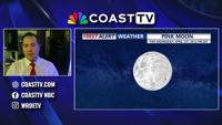
Weather Alert


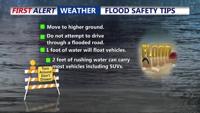


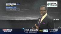
Chief Meteorologist Paul Williams takes a detailed look at the potential of freezing conditions and where frost and damage to outside unprotec…