


SUSSEX COUNTY, Del.- The addition of Delaware maps to the Avenza maps app will benefit veteran hikers and bikers and some people who are not familiar with the area.
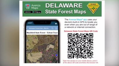
The free app offers a GPS as you are hiking, hunting, or walking. In Sussex County, the state added maps for bicycle trails and tracts in Redden State Forest.
Delaware Forest Service Community Relations Officer John Petersen says the problem of being lost happens more than you might think even for experienced outdoorsmen. The service receives calls from people from time to time that provide feedback.
"They hike all over the country," Petersen said. "They were at our Redden trail Headquarters Tract down in Georgetown and they said the trails weren’t as well marked as they liked and they drifted off onto a service road or fire breaking trail."
When using the app, your location is indicated by a blue dot. You can also pin places of interest or the location of where your car is parked.
Sales Representative at Seagreen Bicycle Owen Henry sees how the app can be beneficial compared to physical maps.
"When we rent physical bikes to folks, we have stacks of trail maps to give out so it’s definitely useful and people want that amenity," Henry said. "So, having the maps in a digital form in an app is useful and definitely more widespread."
Taking navigation across Delaware’s features to the next level.
To start using the app, visit https://agriculture.delaware.gov/wp-content/uploads/sites/108/2021/04/Avenza_2021.pdf.