




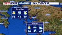
A sharp late-night chill settles in along Delaware’s beaches into Ocean City.
From
To

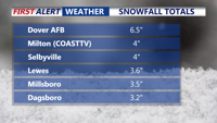
A winter storm’s rain-snow changeover is easing immediate impacts in Sussex County, but wet roads could refreeze overnight and arctic air is expected to keep freezing temperatures in place through next weekend.

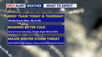
Delmarva gets a brief break with sun and milder temperatures through Thursday, but an arctic blast late Friday and a potential Saturday night-to-Monday storm could bring dangerous wind chills and significant snow.

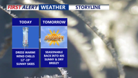
Wind chills in the teens will linger across Delmarva today before a short-lived warmup Thursday, we are watching a potentially impactful winter storm late Saturday through Sunday.

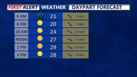
A sharp drop in temperatures tonight could refreeze wet spots on roads across Sussex County, followed by a sunny but bitterly cold Tuesday with wind chills in the single digits.
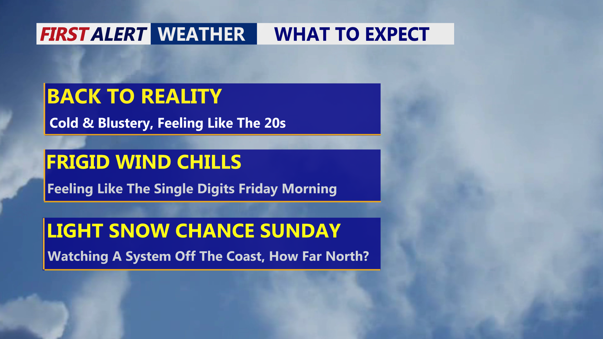
Delmarva stays mostly sunny but windy and cold today, with gusts up to 40 mph and wind chills dropping into the single digits by Friday morning, while a pair of weekend systems could bring light wintry mix Saturday and a lower-confidence snow chance Sunday into Sunday night.

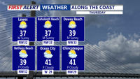
Cold, blustery conditions will build Thursday and intensify Thursday night, with wind chills dropping into the single digits by early Friday.


Delmarva enjoys a bright and seasonable Christmas Eve before unsettled weather arrives, including a storm system late Friday, rain late Sunday, and sharply colder conditions early next week.

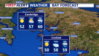
Sub-freezing temperatures are expected across Sussex County, Delaware, and Ocean City, Maryland, from late Tuesday through Wednesday morning, prompting a Freeze Warning and a call for cold-weather precautions.

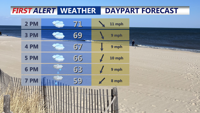
Temperatures gradual tumble Sunday afternoon after above-average warmth across Delmarva, a cold front ushers in steady rain overnight into Monday. A drastic drop in temperatures begins Monday, with widespread 40s and gusty winds expected by Tuesday. Conditions will remain dry but chilly midweek, before a potential return of rain on Friday.