




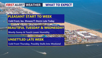
Delmarva will start the week with partly cloudy skies and highs in the mid to upper 80s. A cold front crossing the Peninsula Monday afternoon and evening could spark scattered showers and thunderstorms, with locally heavy rain possible. Tuesday turns less humid before another front brings a renewed chance for storms Wednesday night into Thursday.
From
To


From dune fires to severe summer storms to housing policy and immigration developments, here's a look back at some of the stories that made headlines across Delmarva this week.

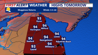
Hot and tropical conditions will persist through Tuesday night in Sussex County, bringing daily rounds of showers, thunderstorms, and the risk of flash flooding.

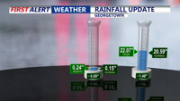
A cold front will spark showers and storms late Wednesday into Thursday, followed by cooler, calmer weather and seasonable temperatures through the weekend.


Monday brought another round of oppressive heat and intense downpours across parts of Delmarva, including Long Neck and Ocean View, where up to four inches of rain fell in just an hour. A cold front is forecast to move through the region late Tuesday, gradually lowering humidity levels by midweek. High pressure building into the area should bring drier and more comfortable weather heading into the Fourth of July weekend.