


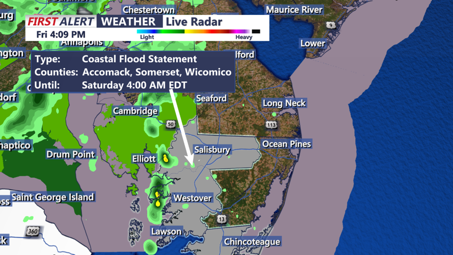

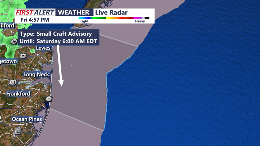


DELMARVA - As a cold front moves across the region tonight, we'll see some weather changes specific to the Delmarva area through the weekend. The front will track south and east, with high pressure building in from the west thereafter, stabilizing conditions into the middle of next week.
For the Delmarva Peninsula, expect light showers to begin this afternoon as a pre-frontal shortwave makes its way toward the area. These showers will likely diminish upon reaching the I-95 corridor. Another round of showers is expected overnight as the front draws closer. Accumulated rainfall is anticipated to be minimal, with totals up to two tenths of an inch, leading to no significant impacts. Patchy fog is also possible tonight, particularly along coastal areas. Temperatures will remain relatively steady, in the mid to upper 40s.
The cold front is set to move offshore by tomorrow morning, which will see an end to the showers across Delmarva by late morning. Following the front's departure, the skies will clear quickly due to incoming dry air, allowing for sunny skies by afternoon. It will be a pleasant change, with temperatures expected to reach the mid to upper 60s under mostly sunny conditions.