




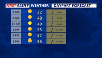
Temperatures dip near the freezing mark into Sunday morning, then a warm up begins later in the day.
From
To

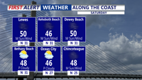
The rest of Saturday will be bright, but blustery across Delmarva, with wall-to-wall sunshine.

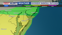
A stalled out stationary front continues to be the focus for isolated to scattered showers and thunderstorms the next couple of days. Watch for locally heavy rain and localized flash flooding, especially in low lying areas and poor drainage spots.

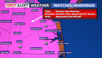
The stretch of dangerously hot weather is finally winding down after today. The ridge of high pressure responsible for the dangerous heat is beginning to break down. Temperatures are forecast to be in the 90s to around 100 again today, with heat index values between 100 and 106 degrees across most inland areas this afternoon and evening.

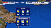
Isolated thunderstorms may affect Delmarva Monday, with dry and warm conditions returning by Tuesday and a midweek cold front bringing potential showers and storms on Wednesday.