




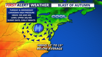
High pressure settles in as sunny dry cool conditions develop. Next few nights will feature some chilly overnight lows in the 40s, chilliest night will be Tuesday night.
From
To

A warm front has lifted north of our region, ushering in a summer-like airmass for the week ahead.

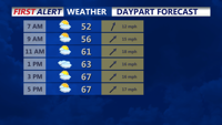
Overnight expect partly cloudy and breezy conditions with temperatures in the 40s, then rising to the 50s by morning.

As high pressure shifts to our east today, a return flow will develop and warmer air will start to move back into the region.

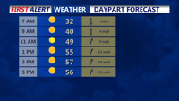
Temperatures dip near the freezing mark into Sunday morning, then a warm up begins later in the day.

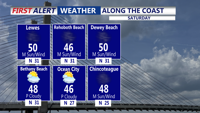
The rest of Saturday will be bright, but blustery across Delmarva, with wall-to-wall sunshine.

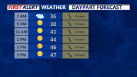
Bundle up out the door this morning, we're seeing cold and breezy conditions, with feels like temperatures in the mid 20s to near 30.

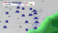
We'll see the rain gradually diminish this evening, with rainfall totals generally ranging from 0.30 to 0.60 inches.

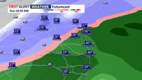
Rain changes to snow Sunday with light accumulations, then bitterly cold air follows into early next week.

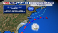
A fall-like airmass has finally arrived. A stretch of clear and seasonable weather continues as Canadian high pressure builds in from the north, shunting Hurricane Imelda out to sea.