




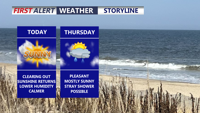
Delmarva begins a stretch of calmer weather today, with sunshine, lower humidity and seasonable temperatures continuing into the weekend.
From
To

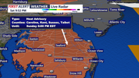
Humidity, dangerous heat index values and repeated rounds of storms will keep Sussex County and areas toward Ocean City unsettled from Sunday morning through Monday morning.

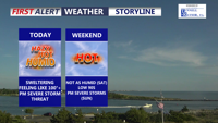
Delmarva will face another day of near-record heat, high humidity, and a slight risk for severe thunderstorms today. A cold front moving through tonight will bring a more comfortable weekend, though another round of showers and storms could return late Sunday into Sunday night.

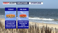
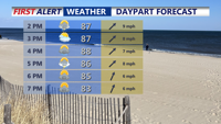
Delmarva will stay dry, sunny, and summer-like through the end of the week as high pressure remains in control. Temperatures climb into the 80s today and low 90s Friday before humidity builds this weekend. A cold front late Sunday into Monday will bring cooler air along with scattered showers and thunderstorms.

A stormy Sunday with widespread showers and thunderstorms, heavy rain potential, and an isolated severe storm threat. Humidity and heat will make it feel near 100 degrees before storms arrive. A clearing trend returns Monday and Tuesday, but heat builds again before a stronger cold front cools things down for next weekend.

Delmarva faces a marginal risk for severe storms Sunday afternoon and evening as a frontal boundary stalls over the region. Showers and thunderstorms—some potentially strong with damaging winds and isolated tornadoes—could impact parts of the peninsula, especially the southwest. Quieter weather returns Monday before another round of rain and storms arrives Tuesday. The second half of the week turns drier and significantly warmer, with highs reaching the 80s and possibly nearing 90.