





Saturday is expected to be the driest and most comfortable day of the weekend, before humidity and storm chances return Sunday.
From
To

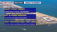
Delmarva is entering a prolonged stretch of hot and very humid weather that will continue through at least Tuesday. Daily chances for showers and thunderstorms will accompany the heat, with some storms capable of producing damaging wind gusts, torrential rainfall and localized flash flooding. A weak cold front Sunday may provide a brief break from the oppressive humidity before moisture surges back Monday and Tuesday. A stronger front could finally bring more noticeable relief by late Tuesday or Wednesday.

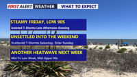
Heat and humidity return today as scattered storms bring a limited risk of damaging winds and localized flooding.


Delmarva stays cooler and mostly cloudy today with a few showers possible before a brighter Wednesday and renewed storm chances late week.

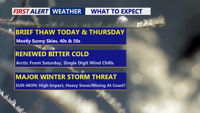
Delmarva gets a brief break with sun and milder temperatures through Thursday, but an arctic blast late Friday and a potential Saturday night-to-Monday storm could bring dangerous wind chills and significant snow.
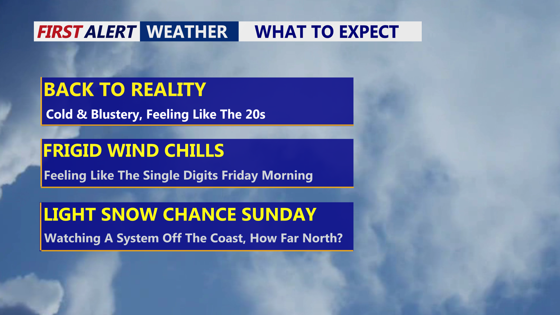
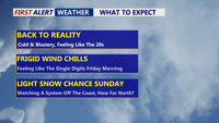
Delmarva stays mostly sunny but windy and cold today, with gusts up to 40 mph and wind chills dropping into the single digits by Friday morning, while a pair of weekend systems could bring light wintry mix Saturday and a lower-confidence snow chance Sunday into Sunday night.

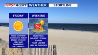
Delmarva will see sunshine and mild conditions today as high pressure settles over the region, but coastal flooding concerns linger with Hurricane Erin churning offshore. A warmer weekend leads into isolated chance of showers and thunderstorms Sunday, followed by cooler, drier weather next week.