


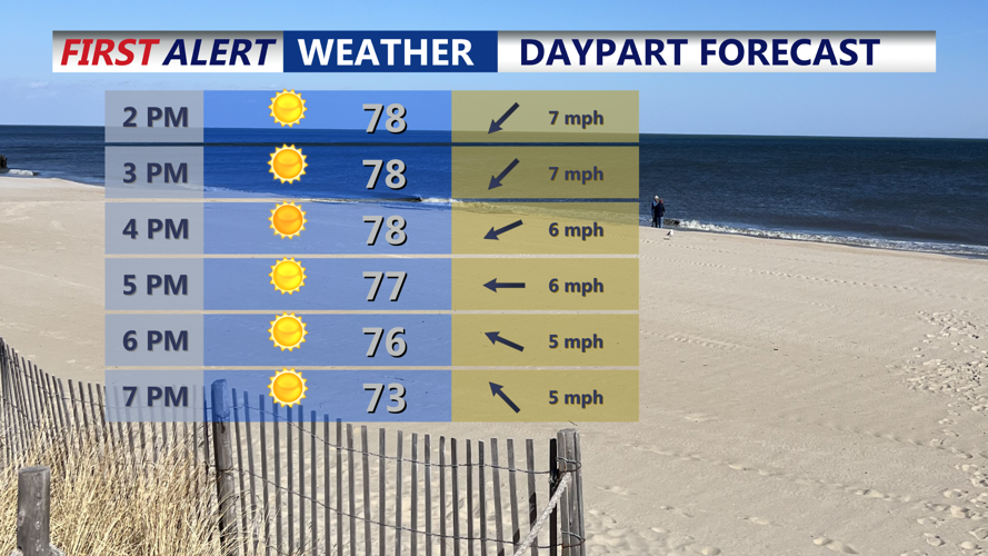


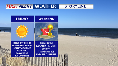
DELMARVA -- Wonderful Friday, wall-to-wall sunshine across Delmarva, with much lighter winds topping out at 5 to 10 mph as high pressure takes hold. Afternoon highs are expected to reach the low 80s inland, while coastal areas will see upper 70s. Clear skies continue tonight, with lows dipping into the mid to upper 50s away from the shoreline and into the 60s near the coast.

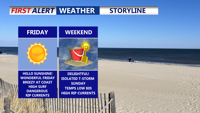
Mostly sunny Friday with highs in the upper 70s to near 80.
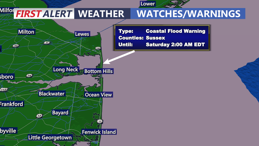
Despite Hurricane Erin drifting farther out to sea, coastal flooding persist. Swells from the storm, paired with persistent northeast flow, could still cause tidal flooding during this evening’s high tide cycle along the coast and bay. Erin is expected to track out to sea through Friday.

Coastal Flood Warning remains in effect through 2AM Saturday, threat of 1-2 foot inundation during high tide cycles.
High pressure building from the Great Lakes will settle overhead Friday before shifting offshore Saturday. Southerly winds will return, sending afternoon highs into the low to mid-80s with warmer, more humid air moving in by Saturday night.

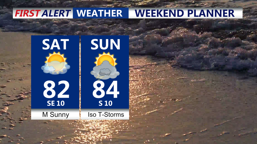
Mostly sunny delightful weekend with highs in the low to mid 80s, isolated t-storm possible late Sunday.
Showers and isolated thunderstorms are possible Sunday afternoon as a cold front approaches from the west. Highs will once again be in the low to mid-80s, but the humid air will push dew points into the upper 60s. The front’s slow progression will keep scattered showers and thunderstorms in the forecast Sunday night, with overnight lows in the mid to upper 60s.
Unsettled conditions linger into Monday before the front pushes offshore Monday night, ushering in drier and more comfortable air. A secondary weak front is expected Tuesday.
By midweek, high pressure will build back in with a stretch of cool, dry weather. Highs Tuesday through Thursday are forecast in the 70s, about 10 degrees below normal for late August, with comfortably lower humidity and overnight lows in the low to mid 50s.