



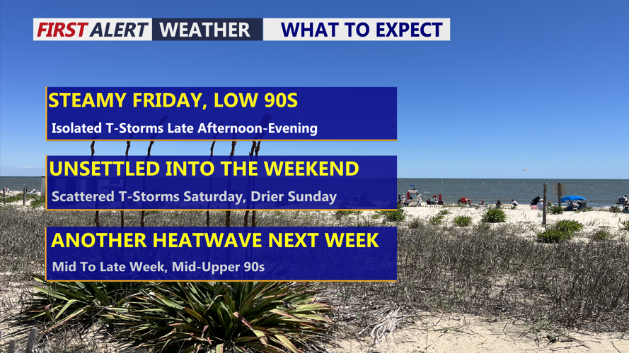

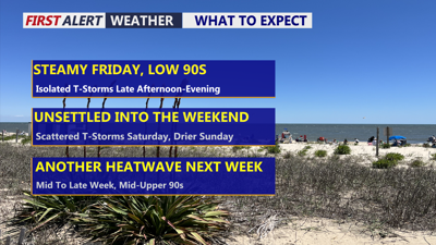
DELMARVA -- Heat and humidity return to Delmarva today as a slow-moving cold front keeps the region unsettled through Saturday.

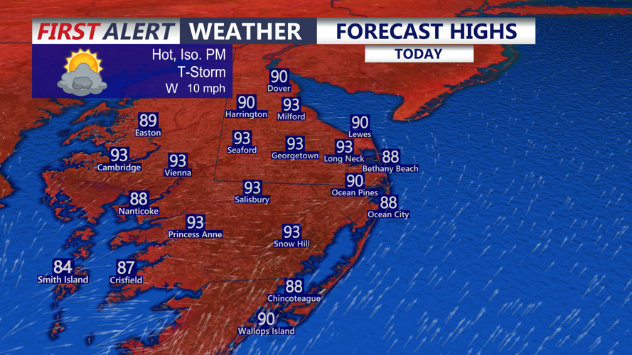
Steamy day on Delmarva, highs in the low 90s inland, upper 80s at the beaches.
Friday will be steamy, with scattered showers and thunderstorms developing during the afternoon and evening. Highs today upper 80s to low 90s, warm day on the beaches with a west wind. Storm coverage is expected to be lower than Thursday, and the overall impact should be less significant. Still, a few thunderstorms could become strong or severe, producing gusty or damaging winds and heavy downpours.
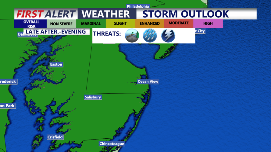
Delmarva is under a Marginal Risk, level 1 out of 5, for severe weather today. Widespread severe storms are not expected, but residents should remain alert as storms develop later in the day.

Marginal risk (1 of 5) for severe storms, late this afternoon-evening, damaging winds is the primary threat.
The flash flooding threat is also lower than Thursday because atmospheric moisture levels have decreased and storms should move more quickly. However, brief flooding remains possible in urban locations, poor-drainage areas and communities that have received significant rainfall during the past week.
A few showers or isolated thunderstorms may linger into Friday night as the front slowly settles southward. Storms should weaken after sunset, with little risk of additional severe weather overnight. Lows will be in the low 70s.
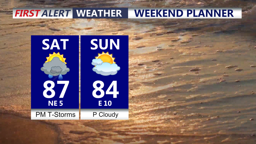
The front is expected to stretch across Delmarva on Saturday, bringing one final day of scattered showers and thunderstorms. The greatest coverage should be along and south of the front, especially across southern Delmarva and portions of the Mid-Shore.

Scattered downpours Saturday, drier Sunday and lower humidity second half of the weekend.
The severe weather threat will remain limited Saturday, although the Mid-Shore could see an isolated stronger storm. A Marginal Risk, level 1 out of 4, for excessive rainfall remains in place. Localized flash flooding could develop where storms repeatedly affect the same locations, particularly in areas with saturated soil or poor drainage.
The cold front should finally move south of Delmarva by Saturday night, allowing drier weather to arrive Sunday.
Sunday through Tuesday should feature mainly sunny skies and seasonable temperatures. Warmer weather will return during the middle of next week, with highs potentially climbing well into the 90s by Wednesday and Thursday. Another stretch of hot weather is possible, although it is not expected to be as intense as the extreme heat experienced at the beginning of July.
