


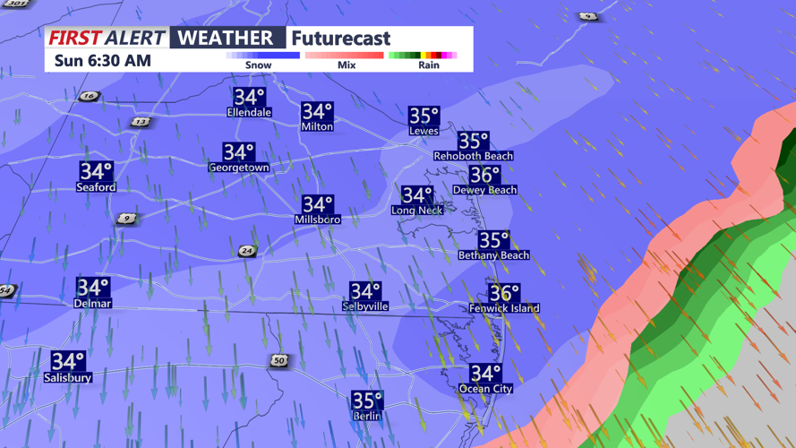
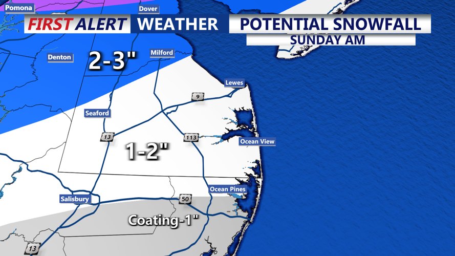
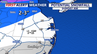


DELMARVA - Snow is expected to develop early Sunday morning and continue through late Sunday morning. Accumulations are expected to be in the 1-3" range, with slick roads Sunday morning.

For the remainder of this afternoon, expect mostly cloudy and breezy conditions with temperatures in the mid to upper 40s, then cooling into the 30s this evening under cloudy skies.

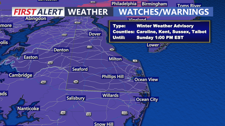
Conditions change later tonight into Sunday morning as an arctic front sweeps across Delmarva, bringing a quick-moving snow event. A YELLOW ALERT is in effect for Sunday morning. Current forecasts call for widespread snowfall totals of 1 to 3 inches, with localized amounts up to 4 inches possible, primarily north of Kent County, DE. Around 1-2 inches across most of Sussex county including Lewes, down the Delaware coast into Ocean City, MD. Some areas could briefly see rain or a rain-snow mix before changing to all snow.

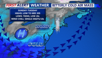
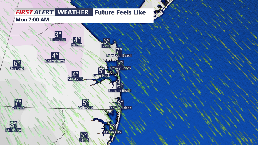
Snow tapers Sunday as arctic air pours in on gusty west to northwest winds. Temperatures may struggle to rise during the day and could even fall by afternoon, leading to dangerous wind chills and areas of blowing snow. Sunday night lows drop into the teens, with wind chills falling into the single digits.

The coldest conditions linger into Monday with highs remaining below freezing and gusty winds continuing. Winds ease Tuesday as high pressure shifts south, allowing temperatures to slowly moderate. A noticeable warmup is expected by midweek, with much milder air pushing into the region and highs potentially reaching the 50s by Thursday.
