


DEMARVA - Breezy onshore winds continue to push across the coastline, keeping skies mostly cloudy and temperatures cooler than normal. High pressure to the north is working against a stalled boundary to the south, creating a steady northeast to east wind. That setup is helping trigger occasional light showers and drizzle, particularly near the Delaware and Maryland beaches. Highs are struggling into the low to mid-70s, about 5 to 10 degrees below what’s typical for this time of year.
As we move through midweek, the weather pattern grows more unsettled. Moist air continues to stream in, keeping conditions damp and gray with some patchy fog at night. Scattered showers are expected Wednesday as a trough pushes into the region, but any rainfall will be light and not especially disruptive. The bigger story will be Hurricane Erin, which passes its closest point offshore late Wednesday into Thursday, staying roughly 400–500 miles away from the Delmarva coast.
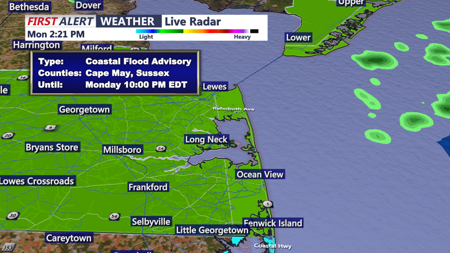
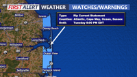
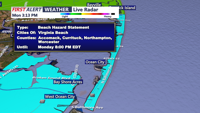
Even at that distance, Erin’s influence will be significant for Sussex County beaches through Ocean City. Strong onshore flow and the storm’s pressure gradient will drive gusty winds along the coast, with gusts up to 35 mph possible. Seas will build to 12 to 15 feet offshore, sending waves of eight feet or more into the surf zone. The result will be a high risk of rip currents, dangerous surf conditions, and the potential for beach erosion. Coastal flooding remains a concern, with up to a foot of water possible in vulnerable areas near tidal waterways. Some low-lying roads may briefly close during high tide cycles. Beachgoers are urged to stay out of the surf and heed advisories.
By Friday, Erin will move farther out to sea and high pressure will return, bringing drier, more stable conditions. Skies should brighten heading into the weekend, and temperatures will climb back to more seasonable levels in the upper 70s and low 80s. However, another frontal system is forecast to arrive late in the weekend, possibly bringing another round of unsettled weather.