



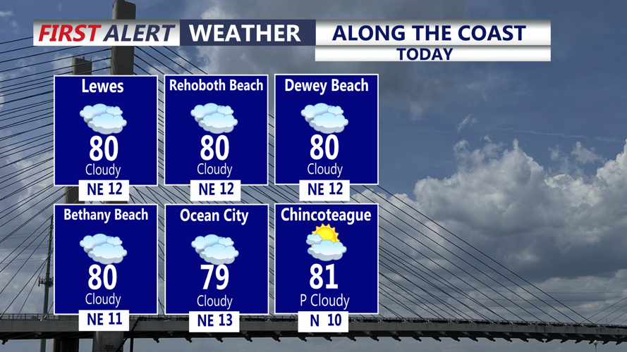
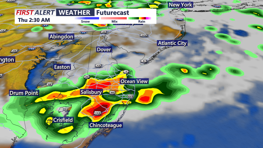

DELMARVA - We get a brief break from the hot and humid conditions today. Skies will be mostly cloudy for the remainder of our Thursday, with highs in the low 80s. Temperatures remaining in the 70s at the beaches with an onshore breeze making it feel cooler. This evening, low clouds and fog are possible under mostly cloudy skies. Overnight, another round of showers and storms are possible after midnight. Some storms could contain, damaging winds, hail, and heavy rain. Lows in the low 70s.
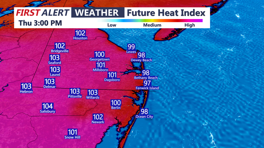
As a warm front moves through Thursday morning, temperatures warm up again on Thursday with highs in the 90s, and feels like temperatures in the lower 100s. Another disturbance in the northwest flow could bring another storm cluster into Delmarva Thursday afternoon and evening. All modes of severe weather are possible, even an isolated tornado or two.
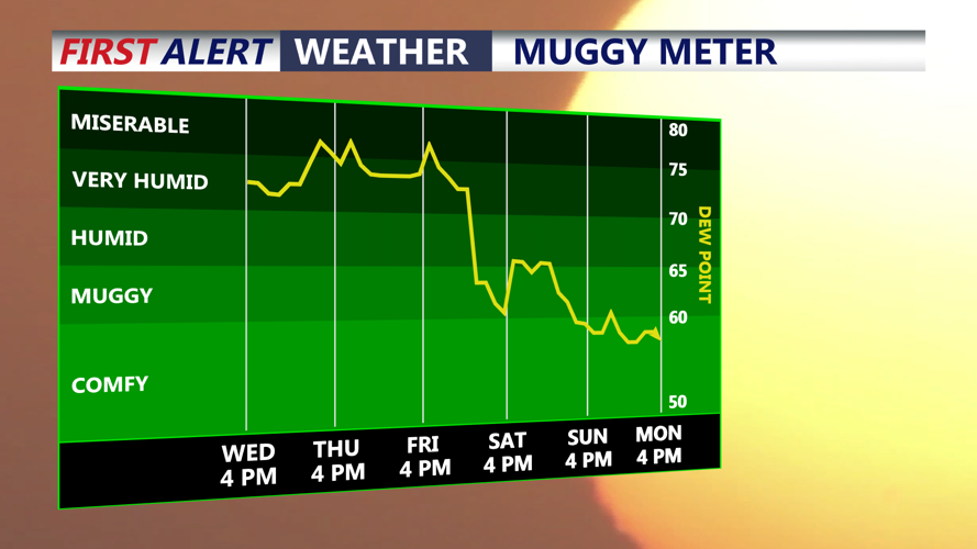
We'll experience one more hot and humid day Friday ahead of a cold front. Temperatures top out near 90, with feel like temperatures near 100, again on Friday.
Cooler temperatures finally build in over the Labor Day Holiday weekend. We'll see highs in the upper 70s and low 80s, and pleasant overnight lows in the 60s.
