



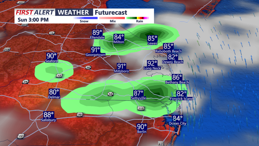
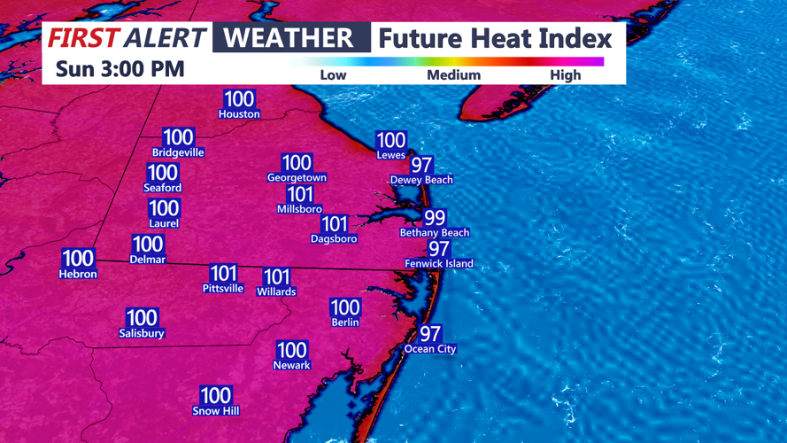
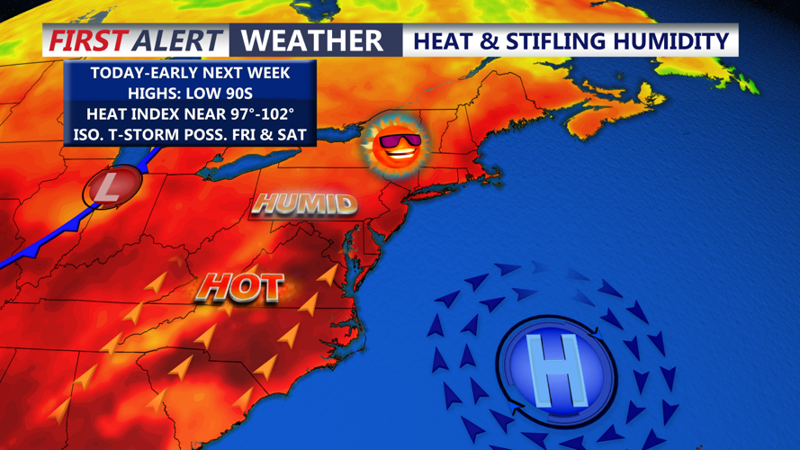

DELMARVA - Hot and very humid conditions will remain firmly in place across Delmarva with little significant change expected through the first part of next week.

A stagnant weather pattern is developing across the region, with a Bermuda high pressure remaining offshore and a steady supply of very warm, moisture-rich air continuing to flow into the peninsula. That combination will keep temperatures elevated and humidity levels particularly uncomfortable for several more days.

Heat index values across Delmarva will frequently approach 98 to 103 degrees, especially during the afternoon hours Sunday and Monday. While actual high temperatures will generally reach the upper 80s to lower 90s, the abundant humidity will make it feel considerably hotter.

Monday will be very similar to Sunday, with temperatures in the low to mid 90s, and feels like temperatures around 100 away from the coast. Thunderstorm chances will increase again Tuesday, as stronger winds aloft and additional atmospheric disturbances move through the region. The setup could support a somewhat greater threat for severe thunderstorms early next week, particularly from storms capable of producing damaging wind gusts. Localized heavy rainfall will remain possible as well, although the flash flooding threat may become somewhat lower than during the wetter pattern experienced recently.
A stronger cold front is expected to approach Delmarva late Tuesday or Wednesday. That front could finally push the deepest tropical moisture out of the region and bring a more noticeable reduction in heat and humidity. A few storms are possible Thursday, and possibly into Friday.
