



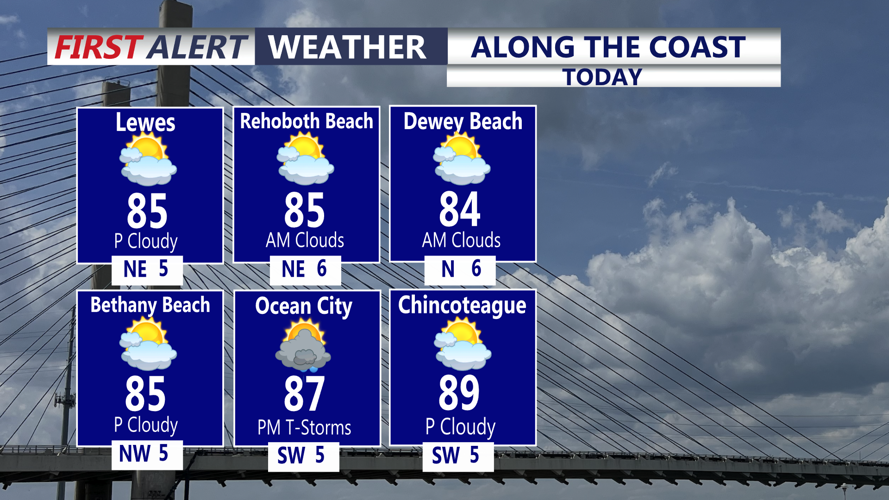

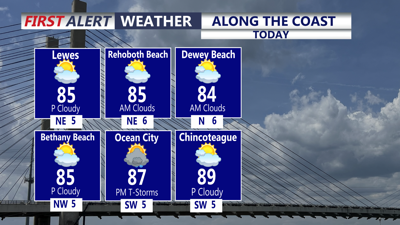
DELMARVA - The rest of our Monday afternoon will be warm and quite humid with more clouds than sun. Temperatures will top out in the mid 80s, slightly cooler at the coast. A few late day and evening showers and storms are possible. Heavy rain could accompany some of the activity. Any showers or storms will diminish this evening. Overnight, expect partly cloudy skies with some patchy fog possible. Lows in the low 70s.

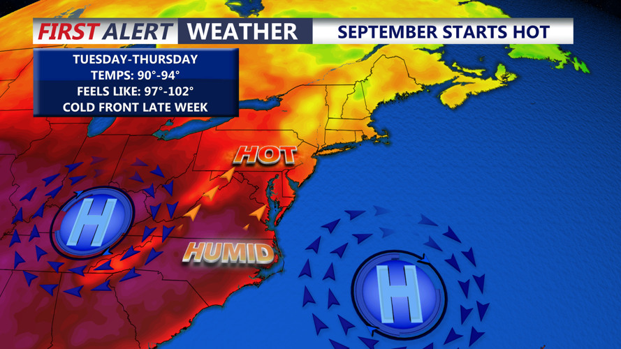
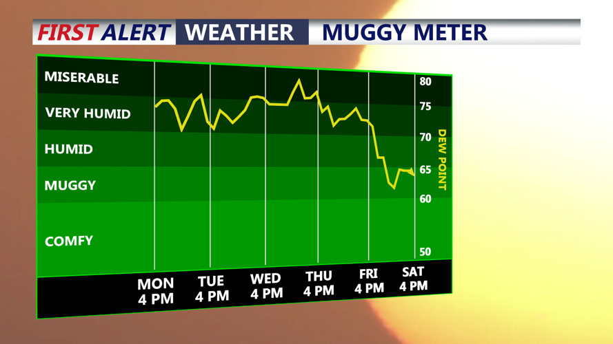
Heat and humidity will continue to build this week, as a broad upper-level high pressure strengthens across the eastern United States. Afternoon highs will climb into the low to mid 90s through Thursday, running about 5-8 degrees above average for early September. Dew points are expected to rise into the low 70s, making conditions feel increasingly muggy. Feels like temperatures will be in the 97-103 range into Thursday.

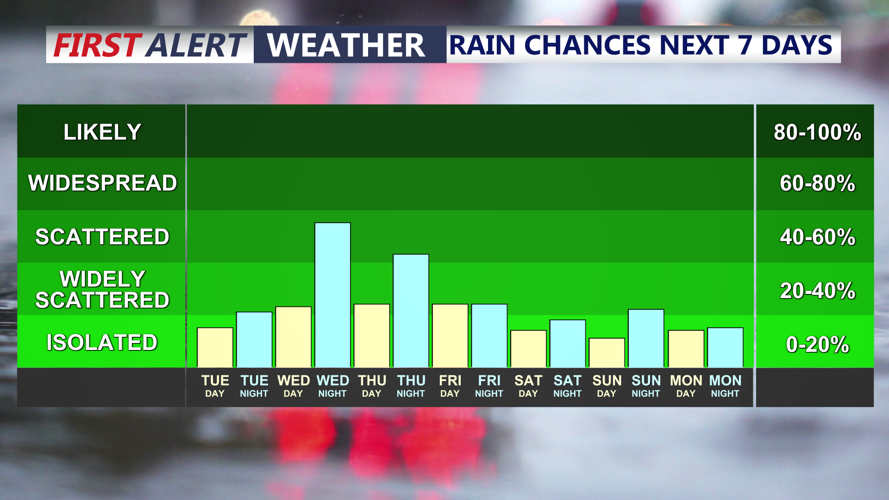
Despite the building heat and humidity, mainly dry weather is expected across Delmarva through the early portion of the week. However, upper level disturbances will work through the ridge and give us a chance of periodic showers and thunderstorms. A cold front approaching on Thursday will keep the threat for showers and storms going. All modes of severe weather are possible, even an isolated tornado or two.

The streak of hot weather breaks on Friday with cooler temperatures in the mid to upper 80s. As of now, the Labor Day holiday weekend is looking dry and cooler with highs in the upper 70s and lower 80s.
