DELMARVA - The increase in cloud cover brings with it the potential for precipitation. Early Wednesday, as the trough moves closer, some scattered showers may develop, particularly during the pre-dawn hours. These showers are expected to be isolated to scattered, with the probability of precipitation (PoPs) remaining between 20-30%. The air, remaining fairly dry, should limit the extent and intensity of these showers.
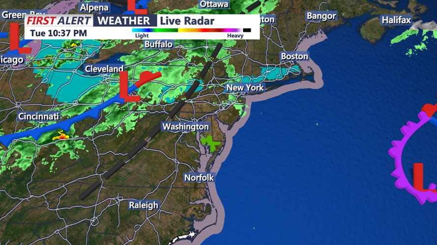
By Wednesday morning, the upper-level trough is forecast to swing across our region, driving a cold front through. This will likely result in a brief cessation of showers, especially in the southern half of the area. The system is not drawing significant moisture from the Gulf of Mexico, so any rainfall we receive is expected to be light.
Following the passage of the main cold front in the early afternoon, a secondary cold front, or dew point front, is anticipated to follow by late afternoon. This secondary movement will bring drier air into the region, reducing atmospheric instability. Despite this, some weak instability could linger, shown by model forecast soundings which suggest lowering freezing levels and steepening low-level lapse rates. These conditions could support the development of a heavy shower or thunderstorm in the afternoon, potentially bringing locally gusty winds and small hail, although the overall thunderstorm potential is considered low for this period around 15-25%.
Wednesday will see mild daytime temperatures, with highs in the upper 60s to low 70s across most of the region. In the afternoon and evening, expect a noticeable shift as west to northwest winds strengthen, with gusts possibly reaching 25-30 mph. These gusty conditions will aid in clearing the skies later in the day as high pressure begins to build in from the west, setting the stage for clearer and calmer conditions moving into Thursday.
Residents should prepare for a mixed bag of weather over the next 24 hours, ranging from mild temperatures and isolated showers to gusty winds and clearing skies by Wednesday evening.


