






DELMARVA- The summer season is ending on a dry and warm note, then cooler and cloudier to start fall on Sunday.
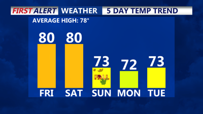
An area of low pressure off of our coast, coupled with high pressure to the west is creating a stronger northeast flow for the rest of Friday. Highs will be near 80 inland, with 70s at the beaches. Northeast winds will pick into the afternoon and evening.

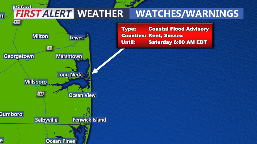
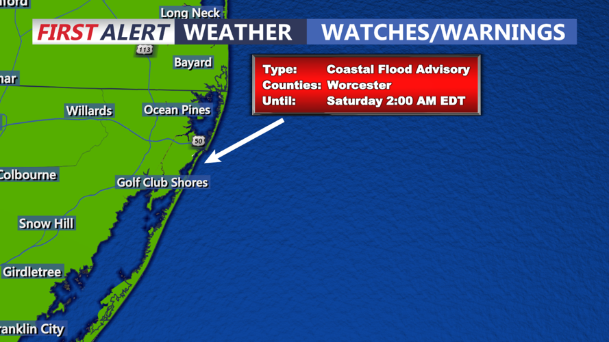
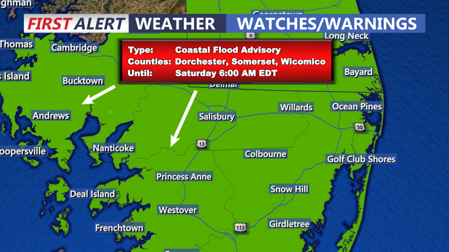
There remain some coastal impacts with some minor flooding possible at times of high tide for the coast, and the eastern shore of Maryland as well. A nearly full moon and an onshore flow will create the chance of flooding in low lying areas on the ocean side and bay side as well.


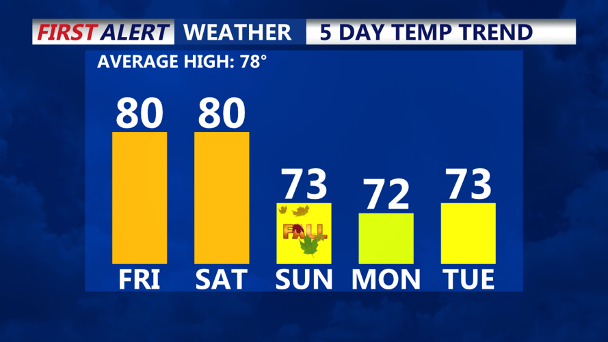
Overnight expect mostly clear and cool conditions with lows near 60 inland, with mid 60s at the coast. Great weather for Friday night football!

Saturday will mark a transition as the coastal low finally moves away and high pressure begins to build. This means lots of sunshine and temperatures near 80 inland, with 70s a the beaches.
By Sunday, a disturbance could increase clouds, with a tray shower possible. The autumn equinox arrives at 8:43AM, and it will certainly feel fall-like across the area, with highs in the 70s.
Monday and Tuesday look dry and cool with highs in the lower 70s
A cold front approaching midweek could bring the next chance of showers by Wednesday, and continuing the rest of the week. Highs will be near normal with highs in the 70s and lows in the 50s and 60s.
