



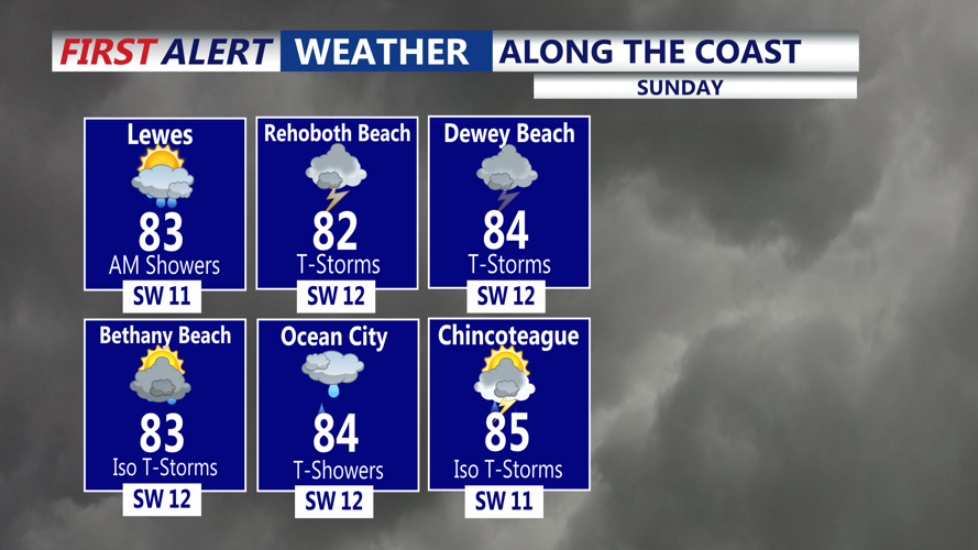
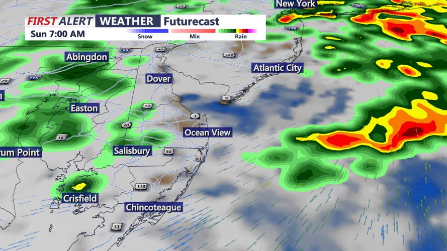
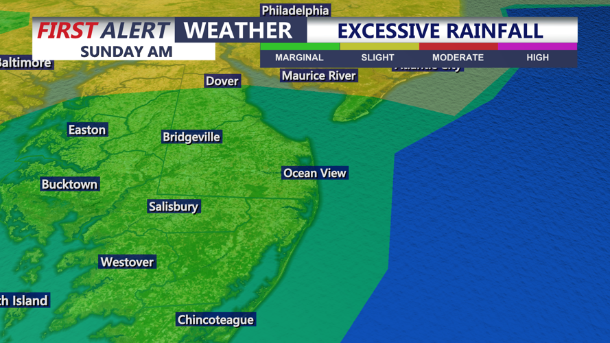

DELMARVA - It's a warm and muggy start to our Sunday, with areas of showers and thunderstorms. Temperatures will be in the low to mid 70s.
Atmospheric moisture levels are expected to become unusually high for mid-September, increasing the potential for torrential downpours. The greatest flooding concerns will be in urban and poor-drainage locations along with smaller creeks and streams. River flooding appears less likely because recent dry weather has kept larger waterways relatively low.
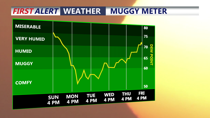
The severe thunderstorm threat remains limited because atmospheric instability is expected to be relatively weak. Damaging winds, large hail and tornadoes are not expected to be the primary hazards with this system. Showers and storms will diminish into early afternoon, with sunshine and muggy conditions, and highs in the low to mid 80s. Another somewhat mild and muggy night is expected Sunday night with lows in the upper 60s mad low 70s.
A cold front will move through Monday morning, shifting our winds to the north. Canadian high pressure will then build across the region early next week, delivering beautiful September weather Monday and Tuesday. Expect plenty of sunshine, low humidity and highs in the upper 70s and low 80s. Overnight lows will be in the upper 50s and lower 60s.
The nice weather continues the rest of next week with temperatures in the low 80s Wednesday, then mid 80s by Friday. A stalled frontal boundary next weekend could bring our next chance for rain Sunday into early the following week.
