





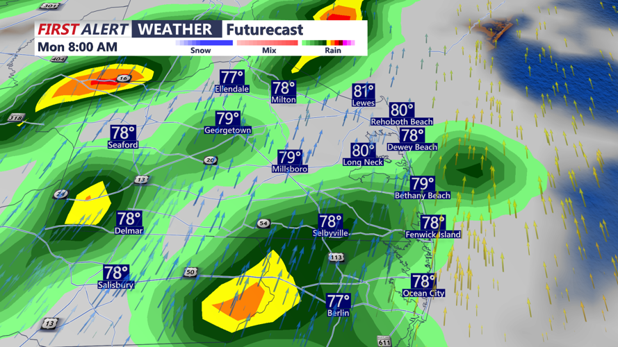
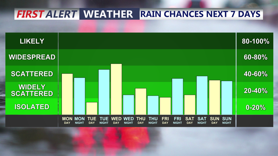


DELMARVA - Make sure to grab an umbrella and raincoat out the door this morning. Scattered showers and thunderstorms are likely today. Temperatures are mild and muggy to start the day, with mid 70s for most locations.

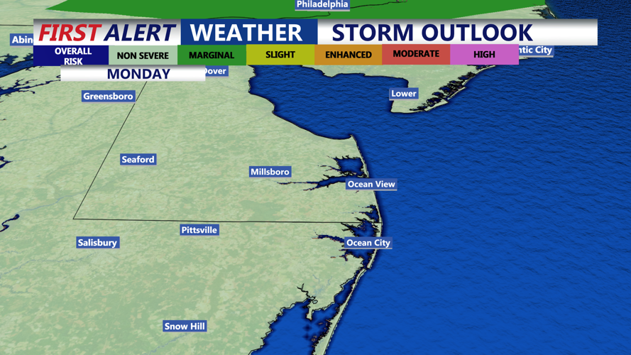
A weakening cold front is approaching the region later today. Ahead of it, deep tropical moisture is spreading across Delmarva, creating the possibility of thunderstorms producing heavy rainfall. Localized flooding could develop where storms repeatedly move over the same communities or rainfall rates become especially intense. A prolonged period of sunshine could destabilize the atmosphere in the afternoon, possibly leading to stronger storms. Highs will be in the mid 80s, warmer where there's more sunshine and less rain.

The frontal boundary will pass through tonight, ending the storm threat with shifting winds from the east-northeast on Tuesday. This will bring more stable air into the region. A few showers are still likely Tuesday. The front will then move back towards the west and stall near Delmarva, keeping daily chances for afternoon and evening showers and thunderstorms in the forecast through much of next week. Each day should still feature periods of dry weather, but isolated to scattered showers and storms are possible each day.

As shower and storm chances decrease later in the week, temperatures will increase. Highs will be near 90 by Thursday and Friday. Lower 90s will be expected into next weekend, with a lingering chance of showers and thunderstorms.
