




DELMARVA - The very hot conditions continue today, then slightly cooler conditions the rest of the week, with storm chances Tuesday and Wednesday.

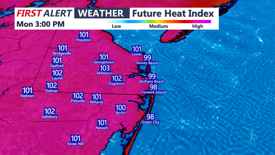
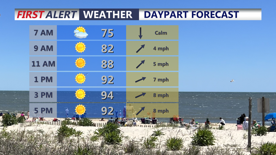
Out the door this morning, expect temperatures on the warm side, in the mid 70s. Get ready for another very hot day, with temperatures rapidly warming through the 80s, then into the low to mid 90s. Humidity levels will be in the high range again, making it feel miserable at times. Temperatures combined with dewpoints in the 70s, will create heat index values in the 100-103 range. Remember to stay hydrated and take frequent breaks if you're outside for a long period of time.

Tonight, there's a slight chance for a stray shower or thunderstorms, otherwise expect partly cloudy skies and temperatures once again in the low to mid 70s.

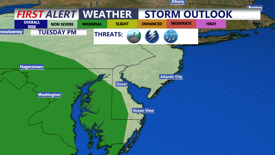
On Tuesday, the Bermuda high that has contributed to our very hot and humid weather will begin to break down. As a result, not as hot with a high around 90, but still quite humid. As a front gets closer later in the day, there's a chance of scattered showers and storms, that could possibly be strong to severe. Portion of the mid-shore, western Sussex county, along with Wicomico county are under a MARGINAL risk for severe weather later Tuesday. As of now, the main threat is damaging winds, torrential rain, and vivid lightning. This activity will diminish later in the evening with lows in the low 70s.
Storm chances will be isolated Wednesday, with temperatures in the upper 80s, with humidity levels not as bad as previous days. Thursday and Friday will be drier with highs in the upper 80s to near 90 Thursday, then mid 80s Friday under mostly cloudy skies.

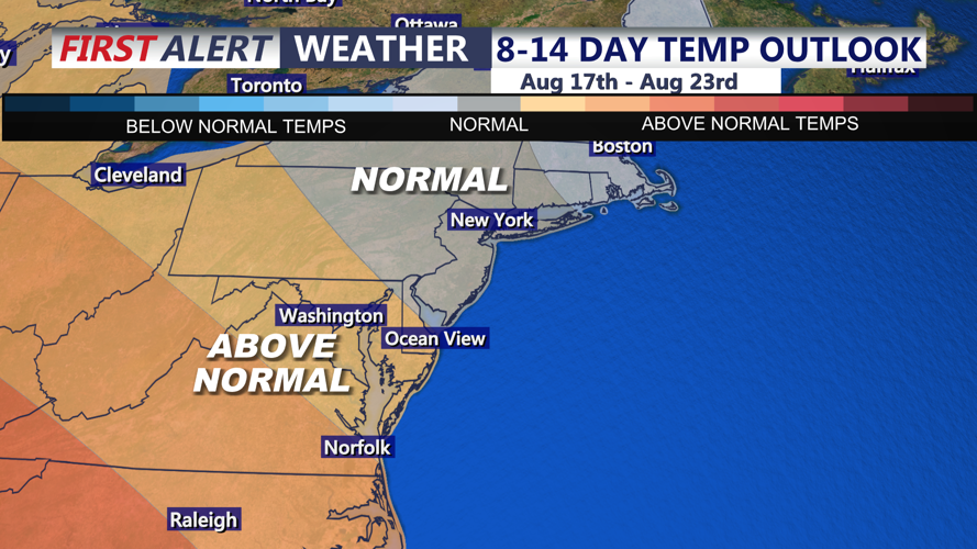
Looking ahead to the weekend, conditions will be a bit cooler, with highs in the low to mid 80s, with a dry Saturday, then a chance of showers Sunday.
