



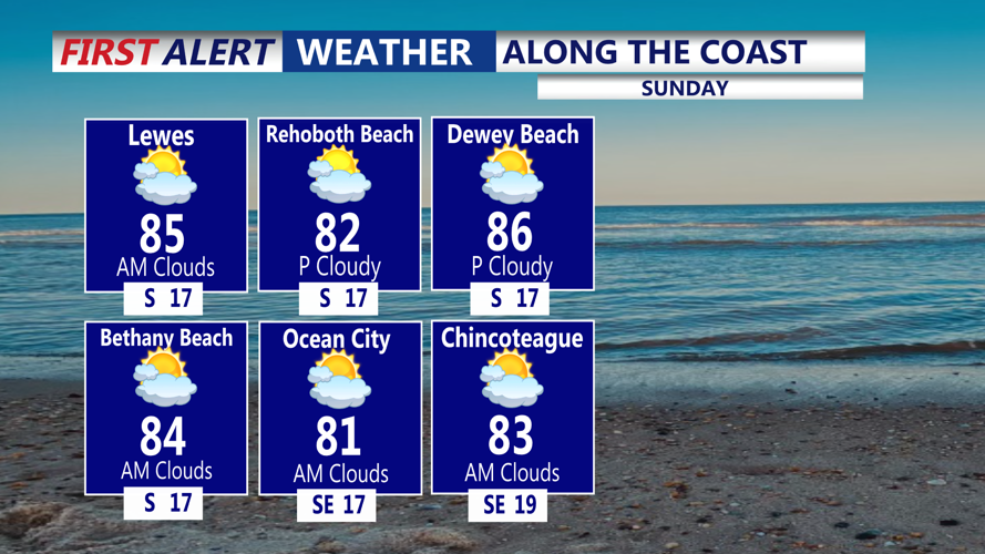
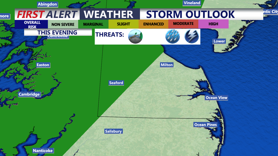



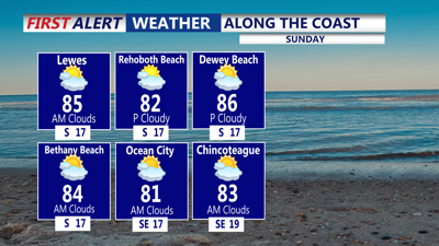
DELMARVA - Conditions will begin to change today as high pressure weakens and low pressure approaches from the Ohio Valley. Skies will be partly to mostly cloudy the rest of today with warm and very humid conditions. Highs will be in the mid to upper 80s. A few showers and storms are possible this evening, especially for the mid-shore of Maryland. The main threat will be damaging winds, heavy rain, and vivid lightning.

A few showers and storms are possible for the overnight hours. Areas of heavy rain are possible, with lows in the low to mid 70s.
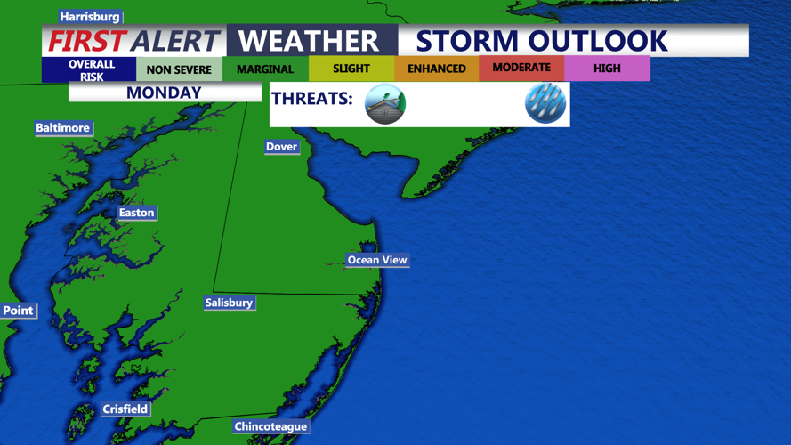
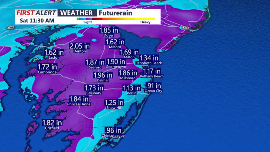
The greatest potential for widespread rain will arrive Monday. Deep tropical moisture will spread across Delmarva, creating the possibility of thunderstorms producing heavy rainfall. Localized flooding could develop where storms repeatedly move over the same communities or rainfall rates become especially intense. Highs will be in the mid to upper 80s, warmer where there's more sunshine and less rain.

The frontal boundary may slow down or stall near Delmarva, keeping daily chances for afternoon and evening showers and thunderstorms in the forecast through much of next week. Each day should still feature periods of dry weather, but isolated to scattered showers and storms are possible each day.

As shower and storm chances decrease later in the week, temperatures will increase. Highs will be near 90 by Thursday and Friday. Lower 90s will be expected into next weekend with partly cloudy conditions.
