




DELMARVA- Skies are cloudy this afternoon as conditions turn unsettled as clouds increase ahead of an approaching low-pressure system. Precipitation chances remain low early in the day but will increase by the later afternoon and evening.
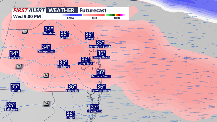
The temperature profile will be key in determining precipitation type, with snow or sleet possible at onset before transitioning to a mix of rain/snow and a cold rain later in the evening.

There is a Yellow Alert in effect Wednesday evening into Thursday morning for a mix of snow, sleet, and freezing rain. Temperatures hovering around the freezing mark could mean slick roads, bridge decks, and sidewalks. Overnight, temperatures will creep above freezing, changing any frozen precipitation to plain rain.

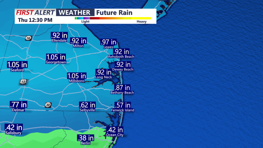
More rain is expected Thursday morning, which could be heavy at times. The rain ends in the afternoon hours. High temperatures will be in the 40s and 50s.

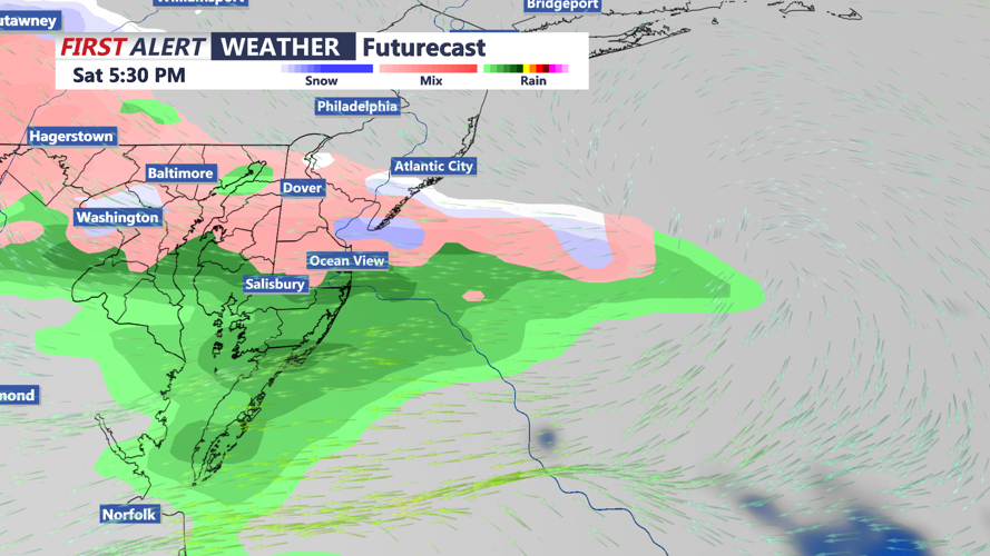
A brief break from wet weather is expected Friday as high pressure builds in from the Midwest, but the next low-pressure system will quickly move in by Saturday. A wintry mix is possible Saturday with an eventual changeover to rain. Rain chances decrease on Sunday with temperatures in the low 50s.

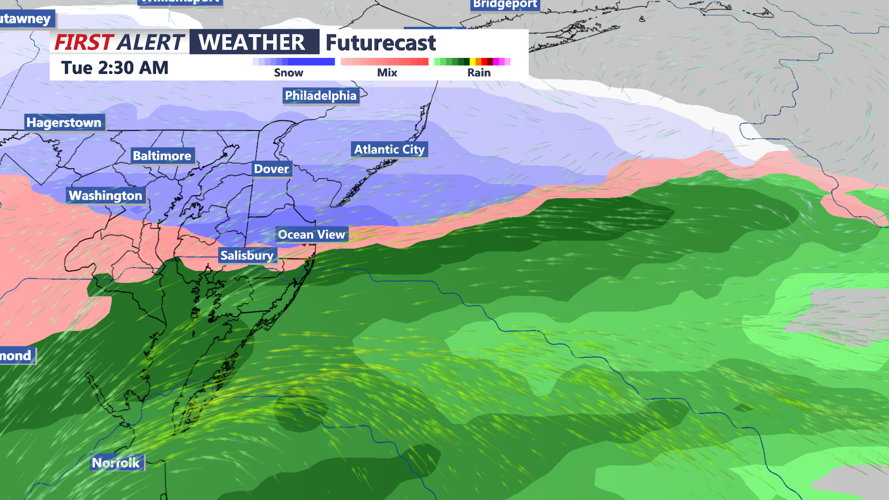
Another system will take aim on Delmarva early next week, meaning another round of rain and snow later Monday into midweek.
