


Early snow settles on Long Neck
- Updated
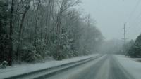
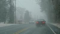
Snowfall began around 1 p.m. Sunday and by 2 o'clock, many surfaces were already covered.
More like this...
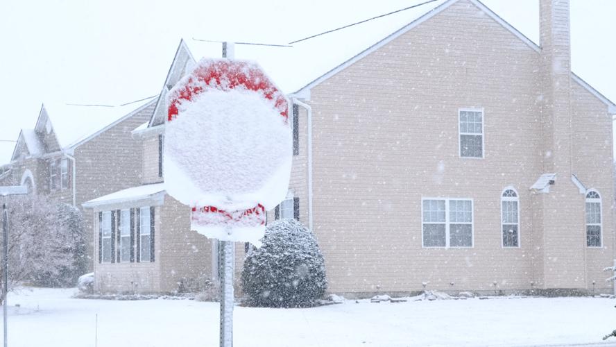

A sheet of show could be seen falling off a stop sign in a neighborhood in Long Neck.
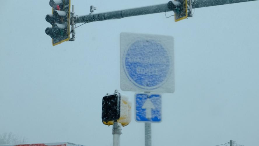

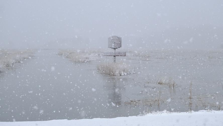
Snow began to cover an evacuation route sign at the intersection of routes 5 and 24.
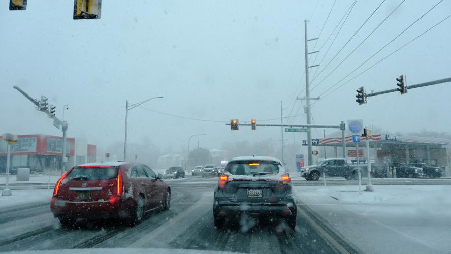
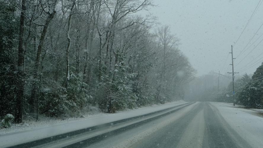
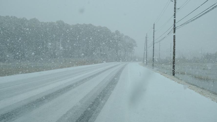
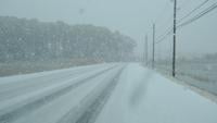
Cars were out on the road around 2 o'clock as the snow began falling Sunday.
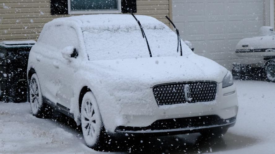

Windshield wipers were raised on this vehicle to prevent freezing.
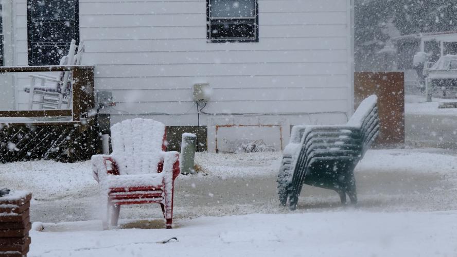

These beach chairs will see better and warmer days in the coming months, but for now are covered in snow.
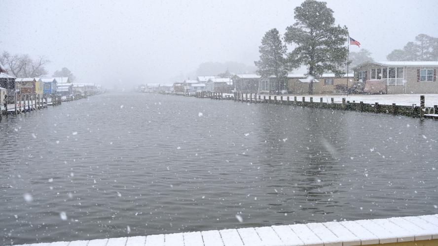
Part of the Rehoboth Bay from Mariner's Cove on Long Neck Road.
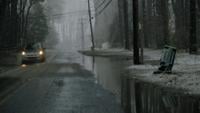
Water was rising to reach Long Neck Road early Sunday afternoon.
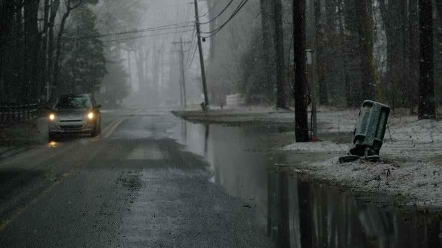
Banks Road had multiple spots of sitting water after rains early Sunday.

More like this...
Trending Now
-
Boaters, anglers frustrated as others fill designated parking lot in Milton
-
Former Worcester schools executive charged in financial misconduct
-
Tree worker shocked by power lines in Rehoboth Beach
-
Sussex County Council denies Marlin Cove rezoning in Selbyville
-
Driver dies after car crashes, catches fire in Georgetown