




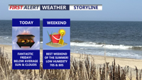
Delmarva will enjoy comfortable humidity, below-normal temperatures and mainly dry weather through the weekend before storm chances increase next week.
From
To

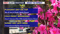
Delmarva will see a pleasant and mainly dry Tuesday with partly sunny skies and only a slight chance for an isolated shower or sprinkle. Temperatures will be mild inland, cooler along the coast, and partly cloudy skies continue tonight. Wednesday stays mild ahead of a strong cold front, with much-needed rain developing later in the day and continuing into early Thursday. A stronger thunderstorm cannot be ruled out, but the overall risk remains low.

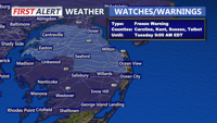
Today starts a much cooler stretch across Delmarva with mostly cloudy skies, highs in the mid 50s, and gusty winds. The biggest concern is tonight, when a widespread freeze is expected inland with a Freeze Warning in effect from midnight to 9 AM Tuesday. After a chilly Tuesday, temperatures rebound into the 60s and 70s by mid to late week before cooler weather and a better chance of rain return for the weekend.

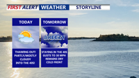
Delmarva warms up today as a warm front lifts through, pushing highs into the mid to upper 40s with partly to mostly cloudy skies. A light southerly breeze increases tonight with a small chance of a stray sprinkle, but most spots stay dry and above freezing. Wednesday stays in the 40s but turns noticeably breezy ahead of a moisture-starved cold front. Cooler, breezy conditions follow Thursday and Friday, then Valentine’s Day kicks off the weekend with sunshine and a springlike feel. Late Sunday into early Monday, a storm system could bring precipitation—details still uncertain this far out.

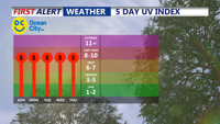
High pressure will maintain warm and humid conditions across Delmarva through the weekend, with only a slight chance of isolated showers late Sunday.

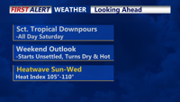
Showers will taper off Saturday night in Delmarva as a stationary front weakens. High pressure will bring heat and humidity on Sunday, with temperatures reaching the low to mid-90s and a Heat Advisory in effect.