



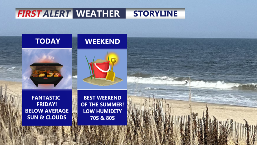

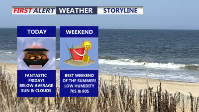
DELMARVA -- A fantastic Friday is underway across the peninsula, featuring a mix of sunshine and clouds, comfortable humidity levels and temperatures running below average for late July.

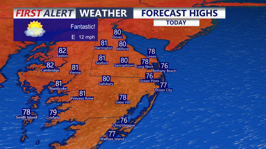
Beautiful, mix of sun and clouds with highs in the upper 70s to low 80s.
Highs will reach the upper 70s to low 80s, with east-northeast winds of 10 to 20 mph helping maintain the refreshing air mass. Friday night will be partly to mostly cloudy, with lows falling into the low to mid-60s.

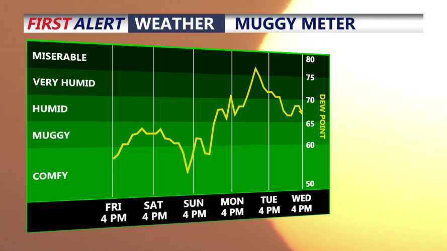
Comfortable humidity levels through the weekend, turns more humid early next week.
A weak area of low pressure passing south of Delmarva could bring a brief sprinkle or isolated shower to the far southern portion of the peninsula overnight. Most communities will remain dry.
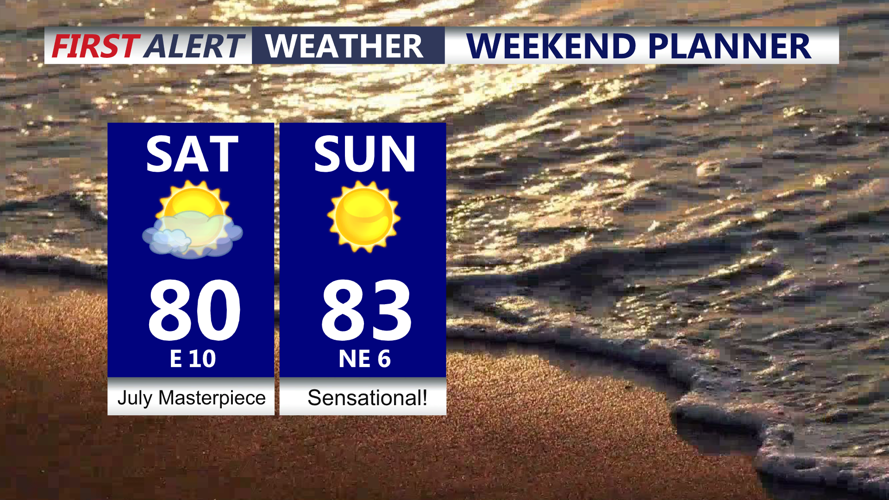
One of the best weekends of the summer is expected as high pressure continues to control Delmarva’s weather. Temperatures will remain below average, and humidity will stay comfortable — a rare extended stretch of dry air for late July.

One of the best weekends of the summer! Sunny skies and very comfortable.
Saturday and Sunday will feature highs in the low to mid-80s with a mixture of sunshine and clouds. Most of the weekend should remain dry, although a weakening shower or storm approaching from the northwest late Sunday is not completely out of the question.
Humidity will gradually rise heading into early next week. Monday will remain seasonable, with highs in the mid to upper 80s. An isolated thunderstorm is possible, but most of Delmarva should remain dry for much of the day.
A stronger weather system and cold front will approach Tuesday into Wednesday, bringing a better chance for widespread showers and thunderstorms. Increasing moisture, with dew points climbing into the low 70s, could support heavy rainfall and a few strong thunderstorms.
The exact timing and coverage of storms remain uncertain, but Delmarva is likely to turn more unsettled by Tuesday, with additional rounds of showers and thunderstorms possible into Wednesday.
