


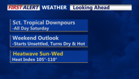
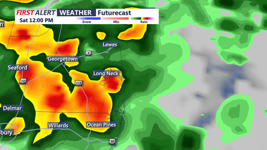


DELMARVA - Low pressure riding along the stationary front will move out to sea on Saturday night. As it does so, the stationary front finally begins to weaken and wash out over the area as high pressure builds in from the west. Any lingering showers will be mainly confined to coastal locales and Delmarva, before tapering off overnight. Due to plenty of low-level moisture lingering from rainfall during the day, in addition to clearing skies and light winds, patchy areas of fog are likely, especially near the coast. Low temperatures will range from the upper 60s to mid 70s.
Going forward, high pressure will hold influence over the region through the remainder of the short-term period. Upper heights will begin to increase and surface flow will become southerly. This will usher in the return of the heat and humidity on Sunday. Based on the latest available guidance, high temperatures will be in the low to mid 90s (80s down the shore). Dew points will also range from the upper 60s to low 70s. This equates to heat indices around 100 degrees across much of the coastal plain into the Lehigh Valley. As a result, a Heat Advisory has been issued for Sunday where conditions warrant. Also, an isolated shower or thunderstorm cannot be ruled out across Delmarva, which lies in proximity to the dissipating front.
Rather benign conditions will continue into Sunday night under mostly clear skies. Lows may be a degree or two warmer compared to Saturday night as the southerly flow will be a bit stronger than the night before.
