


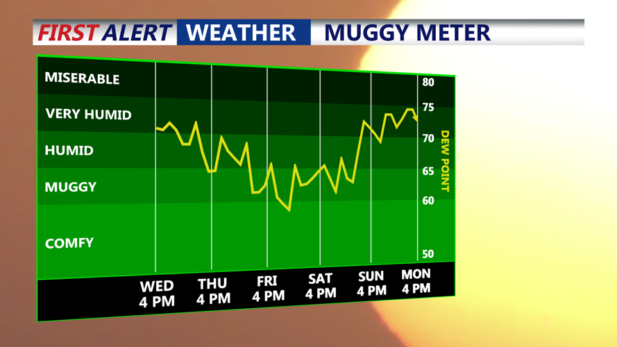


DELMARVA-A cold front is moving through Delmarva this afternoon, bringing an end to the rain. While daytime highs will remain warm, dew points are forecast to drop modestly behind the front, offering some relief from the oppressive humidity of recent days. High temperatures will be in the upper 70s and low 80s later today.
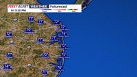
This evening the clouds continue to decrease with gradual clearing and temperatures falling to more comfortable levels overnight. By Thursday morning, readings will be in the upper 60s and lower 70s.

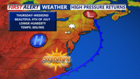
The weather pattern becomes more settled heading into the end of the week and the holiday weekend. A reinforcing upper-level trough over the Northeast will gradually shift offshore, while surface high pressure continues to build over the Mid-Atlantic.

Thursday will remain warm with highs in the upper 80s to near 90, and a dry forecast, although a weak cold front could briefly sink southward later in the afternoon or evening. No significant precipitation is expected from this feature, and high pressure will re-establish control over the area Friday into Saturday.

Independence Day appears to be the most comfortable day of the period, with warm sunshine and lower humidity creating pleasant conditions for early Fourth of July celebrations. High temperatures will be in the mid 80s, then 70s with dry conditions around fireworks time.
Temperatures will trend a bit warmer again Saturday and Sunday, with highs in the upper 80s each afternoon. Dew points will rise gradually, moving back into the upper 60s to around 70 by Sunday. As the high shifts offshore late in the weekend, a return of more humid conditions is possible, but most of the period will remain dry and favorable for outdoor activities.
