


DELMARVA - High pressure is currently centered southeast of the Canadian Maritimes and will remain over the northwestern Atlantic through Friday. Meanwhile, a low-pressure system off the Carolina coast is drifting northeast and is expected to stay several hundred miles east of the Jersey Shore, affecting the Delmarva region's weather.
Tonight, increasing low-level moisture due to onshore flow will raise surface dew points into the 60s, leading to the development of stratus clouds after midnight. As the atmosphere becomes saturated, expect patchy fog across Delmarva. Some wraparound moisture from the offshore low may move towards the mainland, bringing light rain and drizzle near the coastal areas. Inland areas might see a few sprinkles, but measurable precipitation is not expected.
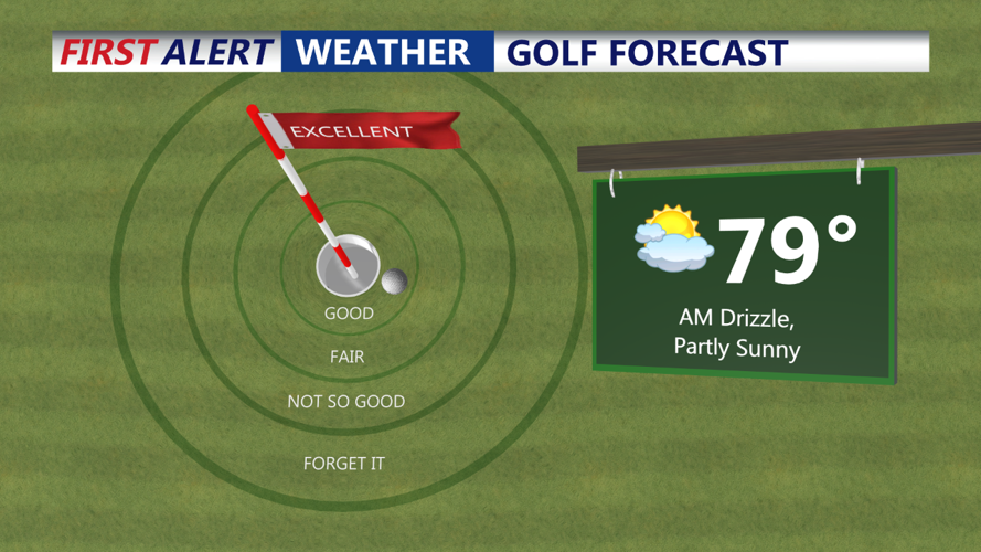
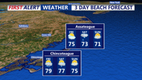
Cloudy skies will persist on Friday, although clouds will gradually lift throughout the day. Light rain and drizzle could continue near the coastal areas into Friday afternoon, but any precipitation will be spotty and minimal.
Temperatures will be warmer tonight, with lows ranging from the 50s to the low and mid-60s. Highs on Friday are expected to reach the 70s to near 80 degrees, making for a mild and cloudy end to the workweek on Delmarva.