





DELMARVA - The heavier rain that plagued the mid-shore and portions of Sussex county, has now diminished, with heavier showers still ongoing across the southern tip of Delmarva. Some areas will actually see some sunshine this evening as we are between two systems.

The early part of the evening will feature mostly cloudy skies, with scattered showers still a possibility. There will be some pockets of heavy rain, and possible flooding, especially in poor drainage areas. Temperatures will hover in the 70s this evening.

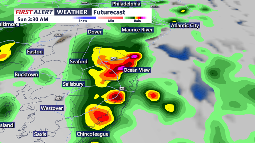
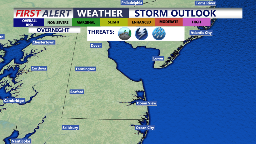
Overnight, as a cold front approaches, showers and thunderstorms will increase across the area. The severe thunderstorm threat appears considerably lower than Thursday. Wind shear, instability and atmospheric forcing are all expected to be weaker. An isolated strong or severe thunderstorm cannot be ruled out, but the threat of damaging winds, hail and tornadoes is much lower. The main threat is gusty winds and locally heavy rain. Lows in the upper 60s and low 70s.

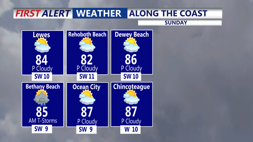
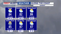
A cold front will move off the coast, ushering in drier conditions with increasing sunshine. Sunday will be the better of the two days this weekend with partly sunny skies and highs back into the low to mid 80s. Sunday night expect mostly clear skies and lows in the low to mid 60s.

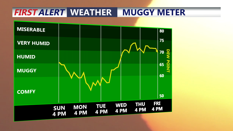
High pressure is expected to take control early next week, bringing a stretch of dry and tranquil weather Monday through Wednesday with seasonable temperatures. Lot's of sunshine, comfortable highs in the low 80s. Another frontal system may approach Delmarva Thursday into Friday, with scattered showers and storms possible.
