



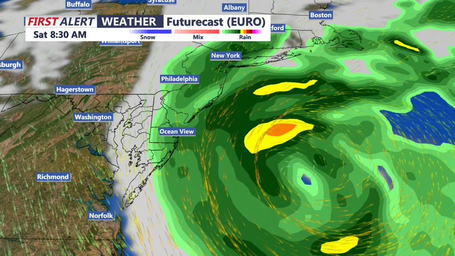

DELMARVA - A nor'easter continues to intensify and track to our north this weekend with windswept rain and strong winds.

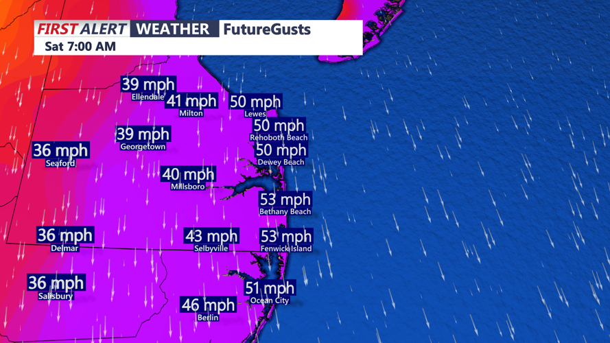
A High Wind Warning is in effect through Sunday morning, gusts as highs as 55-60 mph at the coast. A Wind Advisory is in effect for inland Sussex and Kent Counties, gusts 40- 50 mph possible through Sunday.

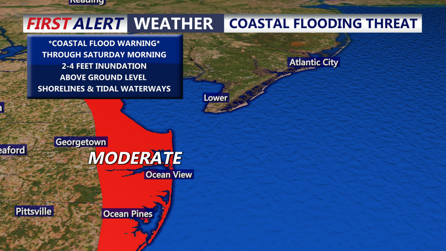
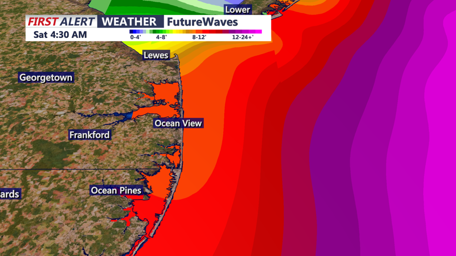
MODERATE tidal flooding will continue to be a concern through high tide cycles into the weekend. We have a full moon (Harvest Moon) today so tides will be astronomically higher. Water rises of 2 to 4 feet are possible. As winds shift to the north and northwest late in the weekend, that may help from a beach erosion standpoint, but will bring flooding into areas along the Chesapeake Bay. Dangerous life threatening surf will persist with waves heights of 6 to 12 feet.

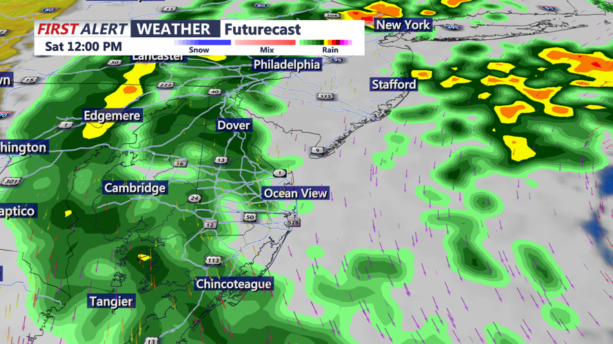
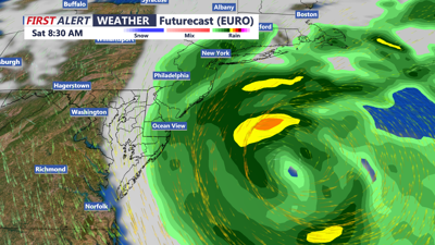
The rain aspect of this Nor'easter has increased. As the low tracks to our northeast the system will stall/loop off the NJ/LI coasts, spinning rain south into our area. Rain will pick up Saturday afternoon and continue through Sunday, it will be heavy at times. Rainfall totals will be around 0.50 to over 2 inches possible.

Temperatures over the weekend will be stuck in the 60s with the rain, wind and cloudy skies. The Nor'easter will weaken and lift to the northeast late Sunday into Monday. Mostly cloudy breezy Monday with highs around 70. High pressure builds in through next week as sunshine and warmer temperatures return by mid to late week, back into the 80s.
