



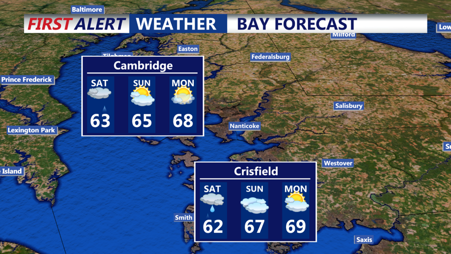

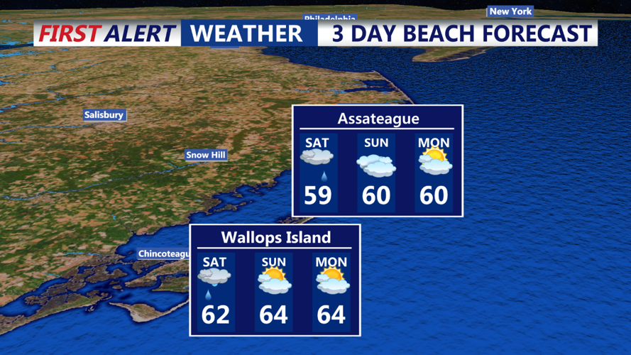
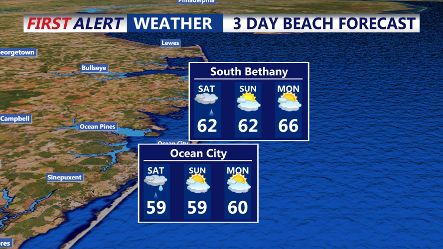
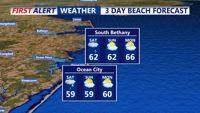

DELMARVA - As low pressure continues to move farther away from our area tonight, another area of low pressure will slide to our south over the weekend. High pressure will then build across our area early next week before shifting to our south. A cold front will move through Thursday into Friday. Clouds have been slow to lift/thin across the area this afternoon, but the latest trends show that they are staying across the North/Northeast areas. Some improvements to partly sunny skies are expected this evening. After that, increasing high/mid clouds are expected overnight as the next system approaches. Scattered showers are possible for the western areas overnight. Many models show the rain decreasing overnight. Patchy fog is possible overnight. Lows will drop into the low/mid 50s for most spots, with some upper 50s for metro Philadelphia. Winds will be light tonight.
On Saturday, a disorganized shortwave will move from the upper Ohio Valley across the Middle Atlantic region. A weak surface low will accompany this feature. Clouds will dominate much of the day, with scattered to numerous showers across the area. Better chances for rain will be across Delmarva and coastal Delaware, as these areas will be close to the better lift associated with the low/shortwave. It will remain cool with the clouds and rain, so high temperatures will likely only reach the low/mid 60s. Winds will be light from the East or Southeast most of the time.
