


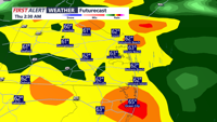


DELMARVA - Skies are cloudy this evening with temperatures in the 60s and 70s. The chance for showers ramps overnight, and continues into Thursday morning as the front moves through Delmarva. Temperatures overnight will fall into the low 50s with scattered showers. A brief downpour cannot be ruled out. As the front crosses the area this evening, there may also be an isolated rumble of thunder, especially across portions of Delmarva. Severe weather is not expected.
The front will gradually sag south and east overnight, keeping the chance for showers going, though rainfall is not expected to be significant. Forecast rainfall totals into Thursday generally range from around 0.20" to 0.50", with locally higher amounts possible farther south, especially in Worcester, Somerset, and Accomack counties.
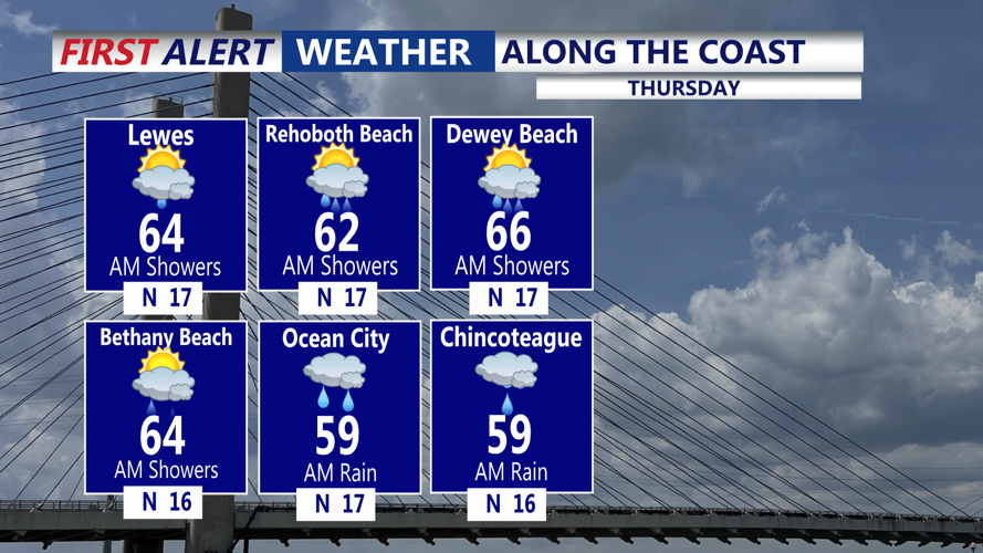
Additional light rain may linger into Thursday morning as a wave of low pressure develops along the front near or just south of Delmarva. Recent trends have shifted this system and its rainfall farther south, which may limit impacts locally. Thursday will be cooler, with highs generally in the 60s.
High pressure briefly returns Friday, bringing a quieter stretch before more unsettled weather develops over the weekend. Additional rounds of low pressure could bring rain chances Saturday and again later Sunday. At this time, these systems look more like weekend nuisances than major impacts.
Temperatures will stay cooler late this week before a warming trend develops over the weekend. Highs Saturday will generally be in the 60s to low 70s, while Mother's Day looks warmer with highs in the 70s to near 80.
Another chance for widespread rain moves in Sunday night through Monday.
