


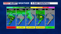

DELMARVA - Thursday will see unsettled weather as a low pressure system moves across the region, bringing showers and storms particularly to Delmarva, Coastal Sussex County, and Southern Coastal Delaware. Model guidance suggests that the system may track east through these areas, potentially limiting the severe weather threat primarily to Delmarva where there's a SLIGHT risk of severe storms. A shift in the track could alter the severity and spread of the weather. Strong speed and directional shear near the low means that damaging winds, large hail, and even tornadoes are possible if enough instability is present. Cooler temperatures with highs in the 70s are expected due to cloud cover and precipitation.
Thursday night will see continued shower activity with a diminishing threat for severe weather due to the loss of daytime heat, and lows in the low 50s.
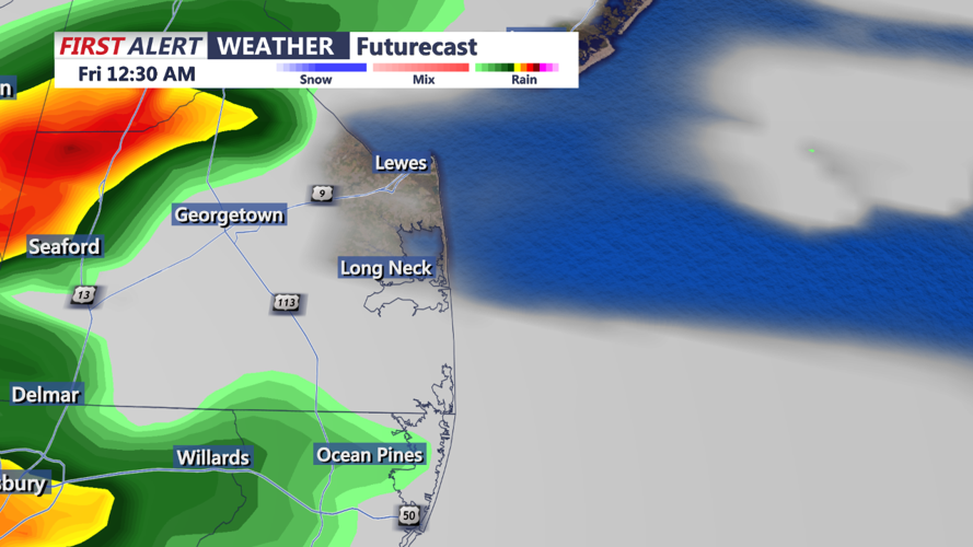
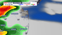
Friday will remain overcast and cooler with occasional showers as the low pressure moves east and an upper-level trough passes through, affecting mostly the northern areas of the region. Highs will be in the upper 50s to mid-60s, with shower chances decreasing overnight as the trough exits, and lows around the mid to upper 40s.
This forecast focuses on Delmarva, Coastal Sussex County, and Southern Coastal Delaware, offering a clear overview of the expected weather patterns and potential impacts over the coming days.
