



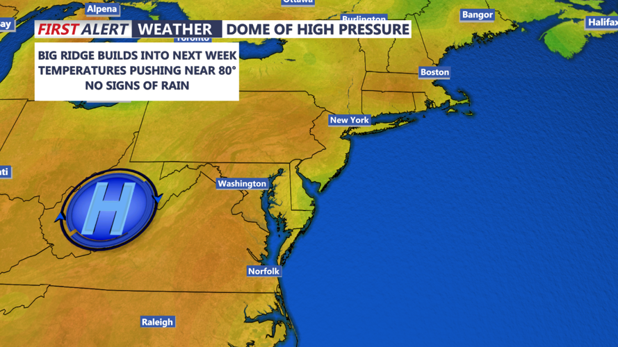

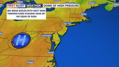
DELMARVA -- The center of a high-pressure system will shift directly over Delmarva tonight, leading to ideal conditions for radiational cooling. With clear skies and light winds, temperatures are expected to drop significantly, ranging from the mid-30s to mid-40s across the region. While some patchy frost is possible in interior areas away from the coast, there is no need for frost advisories as the growing season has already ended in those locations.
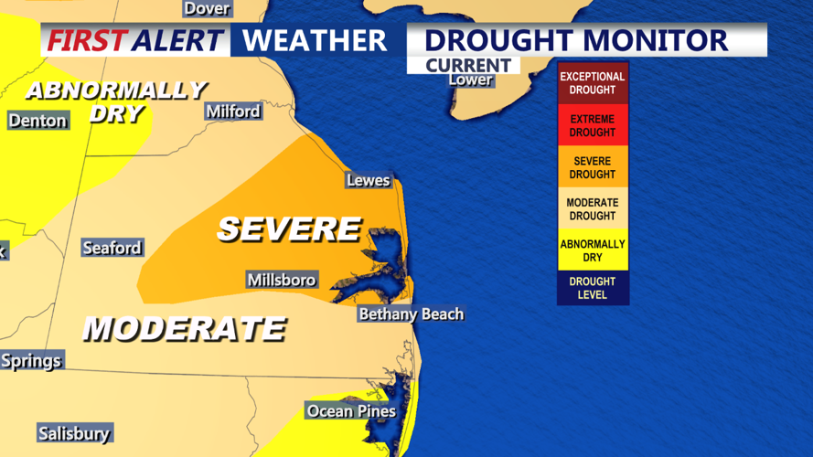
It's important to note that drought conditions across Delmarva, particularly in Sussex County, have worsened, with the region experiencing a severe drought. With no relief in sight, residents should avoid burning or starting fires, as there is a heightened risk of forest fires due to the dry conditions.

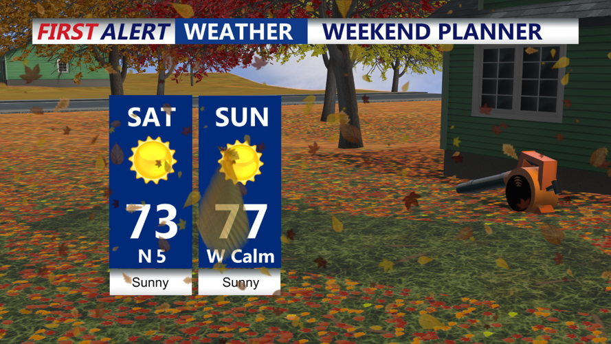
On Saturday, the high-pressure system will remain in place, ensuring another day of clear skies, light winds, and dry weather. While the humidity may increase slightly due to lighter winds and less mixing in the atmosphere, temperatures will be a bit warmer compared to Friday. Expect highs to reach the low 70s in most areas, making for a pleasant day to enjoy outdoor activities.

Clear skies and cool nights will continue through the weekend as high pressure dominates the weather pattern. Saturday night temperatures will fall into the upper 30s to low 40s. On Sunday, abundant sunshine and light winds will help temperatures climb into the mid-70s by the afternoon. Sunday night will cool off again, with lows dipping into the low to mid-40s, but frost concerns will remain low due to the relatively warm air mass.
Monday will bring even warmer conditions, with highs reaching the upper 70s to near 80. It will be another great day to enjoy outdoor activities, though the ongoing dry spell will persist.
Next week will begin on a dry note, with high pressure continuing to influence the region. Temperatures will remain above normal, with highs in the upper 70s to possibly the low 80s on Tuesday. While a cold front is expected to approach midweek, forecast models suggest it will bring only light showers, if any, and is unlikely to significantly alleviate the drought conditions. After the front passes late Wednesday or Thursday, temperatures will drop back to more seasonal levels, with highs in the low to mid-60s by the end of the week. However, the prolonged dry weather looks set to continue.
