




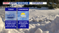

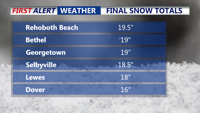
The powerful blizzard that delivered significant snowfall, with well over a foot reported, has moved out to sea. Gusty winds and coastal concerns continue.

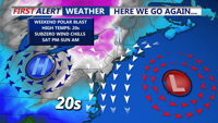
A cold stretch that turns downright harsh this weekend, with the biggest headline being dangerous wind chills and strong winds, not snow.

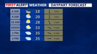
Light snow is expected to arrive late Friday in Sussex County, with minor accumulation possible before tapering to scattered snow showers or a brief squall early Saturday as colder air moves in.

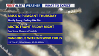
Delmarva stays sunny but cold today, then turns cloudier Friday ahead of a clipper and an arctic front. Snow looks minimal (if any, just a dusting), but a sharp temperature crash and powerful winds arrive Saturday—bringing dangerous wind chills into the single digits and potentially below zero.

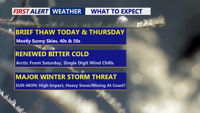
Delmarva gets a brief break with sun and milder temperatures through Thursday, but an arctic blast late Friday and a potential Saturday night-to-Monday storm could bring dangerous wind chills and significant snow.

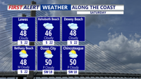
A milder Saturday with a few showers, then snow and rain possible on Sunday.
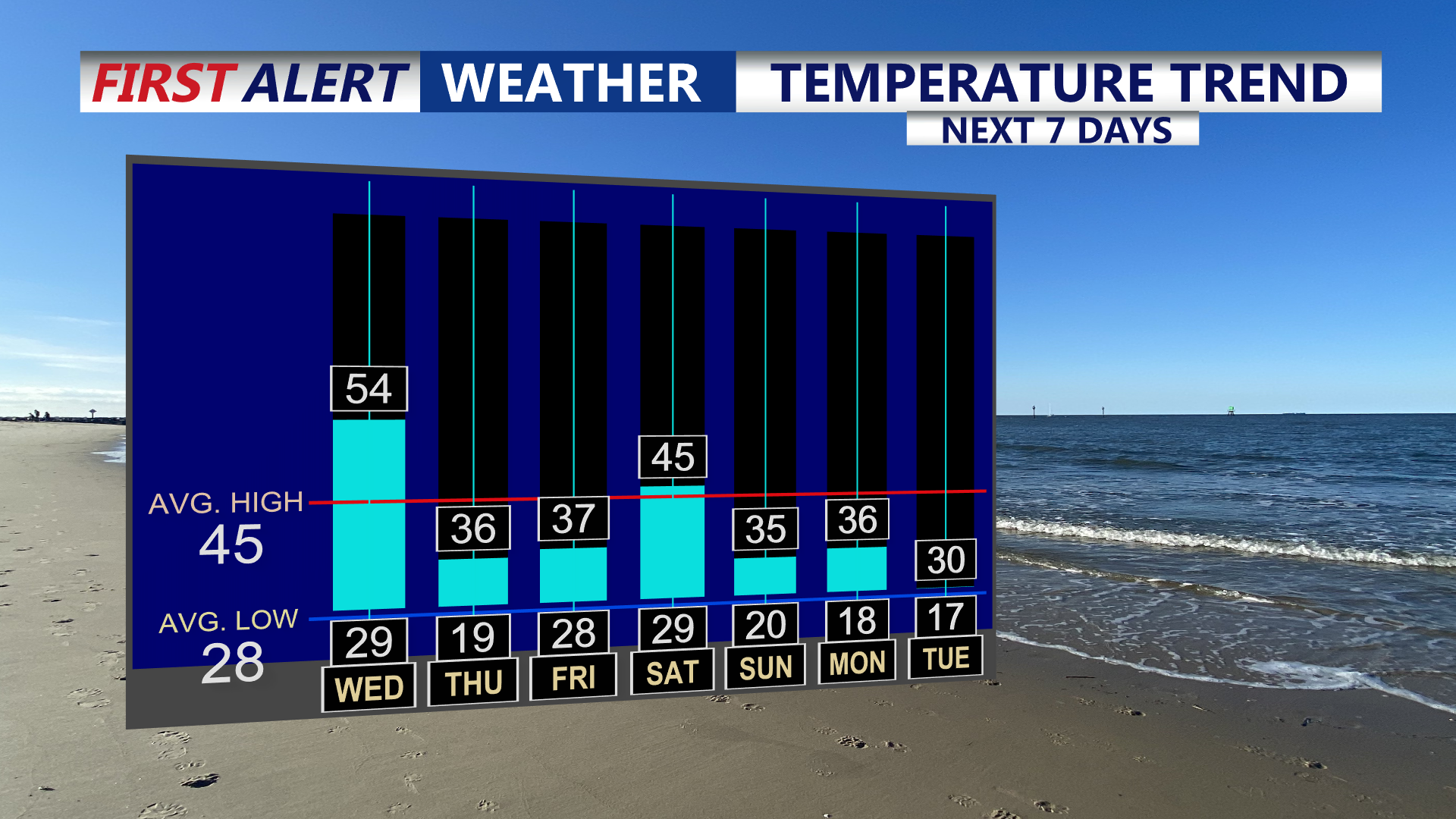
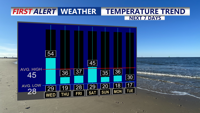
Delmarva stays mostly mild and mostly dry today, but a sharp cold front brings a quick hit of showers and possible snow showers early Thursday, followed by dangerous wind chills into Friday.


A late-night cold front may bring brief snow showers and gusty winds before colder, dry weather settles in Thursday and Thursday night.

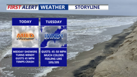
Mild temperatures and scattered showers move through Delmarva today ahead of a strong cold front, followed by gusty winds and a return to winterlike cold through the week.