


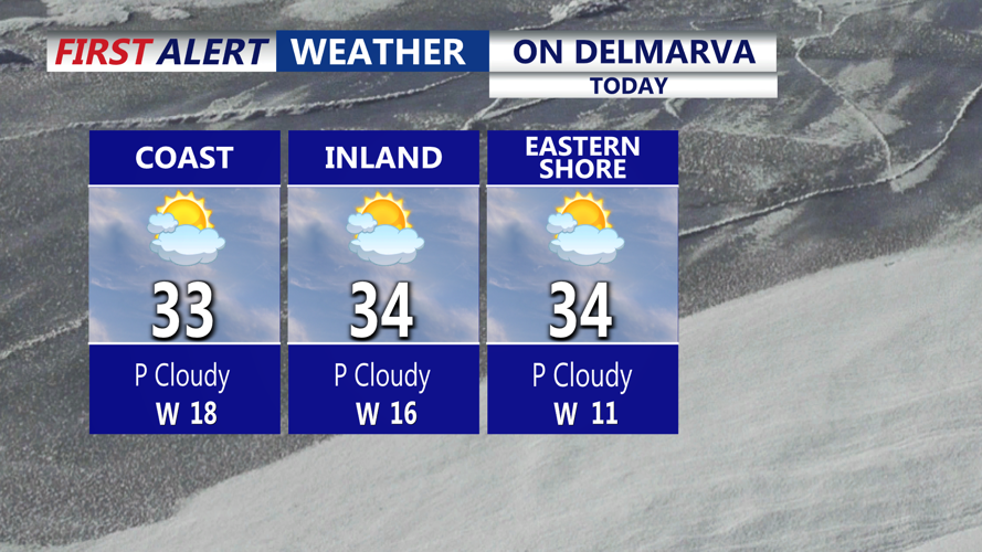


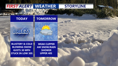
DELMARVA -- The peninsula stays locked into a cold and blustery pattern for one more day. Afternoon highs will only reach the low to mid 30s, while northwest winds continue to gust 20 to 30 mph. That wind will still be capable of kicking up some blowing snow in spots, though temperatures should allow for at least some melting as the day goes on.

Mostly sunny highs in the low to mid 30s, winds will gust to 30 mph, creating some blowing/drifting snow at times.
Tonight, clouds increase as we slide into the evening and overnight hours. Temperatures will fall back into the 20s and 30s as the next weather maker, a fast-moving clipper system, approaches from the west.

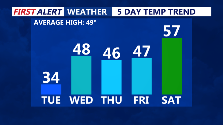
Temperatures rising into the 40s mid to late week, even milder into the weekend.
That clipper arrives Tuesday night and lingers into early Wednesday. Moisture with this system is limited, and the best chance for any minor snow accumulation stays north of Delmarva. Locally, expect mainly a flurry, or a spotty light snow shower that may briefly mix with rain in places before ending early Wednesday.
As the clipper lifts out to the northeast, winds turn more southwesterly and milder air begins to spill in. With warm air advection underway, Wednesday looks noticeably warmer with highs climbing into the upper 40s to near 50 under gradually clearing skies. That change will help further melt portions of the existing snowpack.

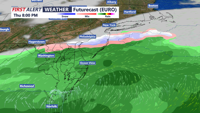
A system will bring a chance for rain Thursday night into Friday morning.
