


DELMARVA -- We remain gripped by Arctic high pressure, keeping the region locked in bitter cold. Highs are expected to reach only the upper teens and low 20s, with lighter winds providing some relief. Skies will stay cloudy as a mid-level trough and strengthening upper-level jet influence the area.
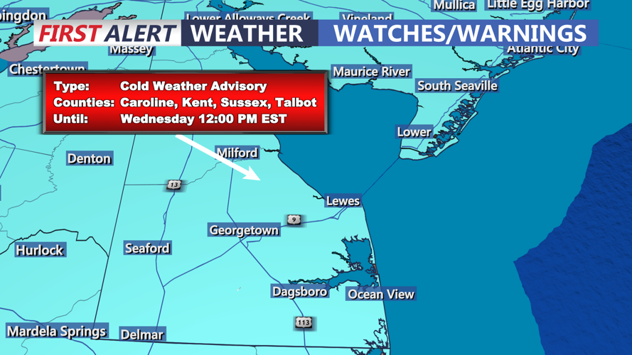
The National Weather Service has issued a Cold Weather Advisory through noon Wednesday due to dangerously low temperatures and wind chills. Overnight lows are projected to drop into the single digits, with wind chills ranging from 0 to -5 degrees.
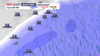
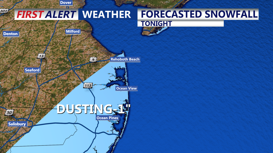
Light snow is expected tonight along the coast, affecting areas from Bethany Beach, Del., to Ocean City, Md., and Chincoteague, Va. This will be between 8 and 12 o'clock tonight.

A brief period of light snow is possible along the coast tonight

Period of light snow extends from Ocean City down to Chincoteague
Accumulations will range from a light dusting to up to an inch further south in Maryland and Virginia.

Period of snow between 8PM - 12 AM could yield a dusting.
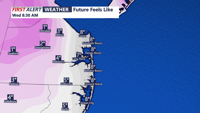
Partly cloudy skies overnight will bring another bitterly cold night, with highs Wednesday struggling to reach 20 degrees, feeling like the teens all day.

Wind Chills between 2 to -5 Wednesday morning
Looking ahead, high pressure will settle over the region Wednesday before moving offshore Thursday. A weak cold front approaches Friday, with temperatures slightly improving to the 30s along the coastal plain. The weekend brings another cold front and a potential system early next week, though its track and impact remain uncertain.
