


DELMARVA - An arctic high-pressure system is entrenched over the region, keeping temperatures well below normal through midweek. Highs Tuesday will only reach the teens and low 20s, making it even colder than Monday. While the day will start with a mix of sun and clouds, increasing high clouds will move in from the south this afternoon, filtering much of the sunlight. Winds will be relatively light at 5 to 10 mph, but it will still feel bitterly cold.

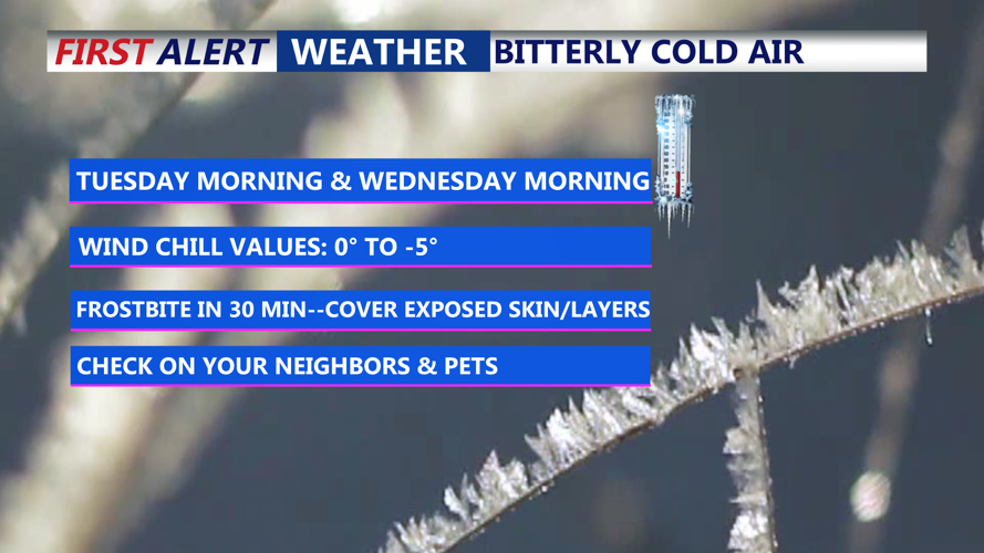
Wind chill values between 0 to -5 Tuesday and Wednesday mornings.
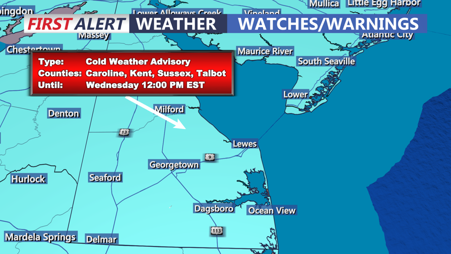
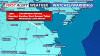
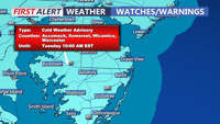
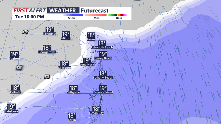
A Cold Weather Advisory remains in effect for the entire Delmarva region through noon on Wednesday. Overnight, a piece of upper-level energy will rotate through the area, bringing the chance for light snow along the coast from Tuesday night into early Wednesday morning. However, significant accumulation is not expected.

Period of light snow is possible across the coast tonight.
Wednesday will continue the bitter cold pattern, with wind chills potentially dropping to dangerous levels during the morning hours. Temperatures will start to improve on Thursday, reaching the mid-30s in some areas.

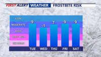
Risk of frostbite increases when wind chills dip below zero.
Looking ahead, high pressure will maintain its influence through the end of the week. A low-pressure system could bring a slight chance of snow Thursday night into Friday morning, though forecasters remain uncertain about its impact. The weekend appears mostly dry, with a slight chance of rain or snow showers late Sunday as a cold front approaches.
