




DELMARVA -- Expect clear skies across Delmarva tonight as high pressure builds in from the west. Temperatures will drop into the low to upper 30s inland and hover in the 40s near the coast. Bundle up if you're heading out this evening!
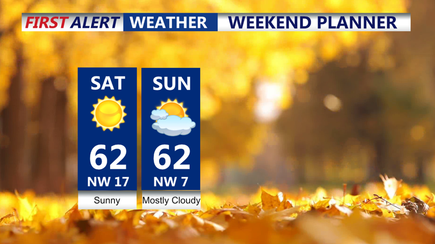
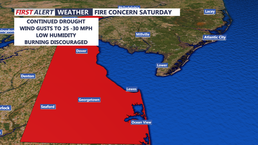
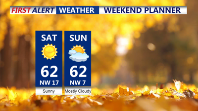
Saturday will feature sunny skies with temperatures climbing into the upper 50s to low 60s—5 to 7 degrees above average for mid-November. Brisk northwest winds will develop by late morning, with sustained speeds of 15 to 20 mph and gusts up to 30 mph. This will contribute to very dry conditions, low humidity, and an elevated fire risk across Delaware. While no Red Flag Warnings are in effect for Delmarva, use caution with open flames outdoors.

Conditions conducive for wildfires in Delaware on Saturday
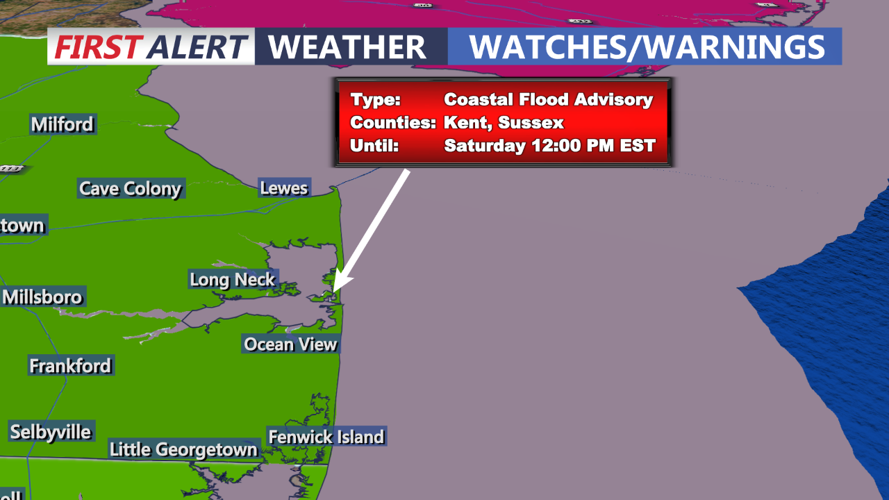
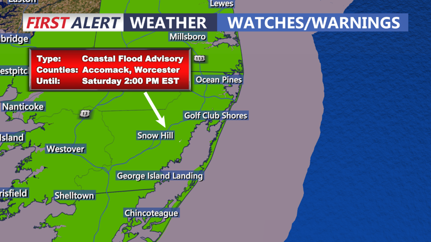
Coastal flooding remains a concern Saturday morning due to persistent shore-parallel winds, high astronomical tides, and the lingering effects of Friday's full moon. Widespread minor tidal flooding is expected along the Delaware coastline and within Delaware Bay, with some gauges briefly reaching moderate flood levels earlier today. A Coastal Flood Advisory remains in effect through Saturday morning’s high tide. Conditions should gradually improve as astronomical tides decline this weekend.

Coastal Flood Advisories through Saturday

Coastal Flood Advisories into Saturday
Winds will diminish Saturday evening as surface high pressure settles over the region. With clear skies and a dry air mass in place, temperatures will quickly drop Saturday night, with lows hovering near freezing inland and slightly warmer along the coast and in urban areas.
Sunday will be another pleasant day, with high temperatures similar to or slightly warmer than Saturday, reaching the low to mid-60s. Clouds will increase late Sunday afternoon and into the evening as a weak cold front approaches, but no rain is expected.
The weak cold front will pass through Delmarva late Sunday night into early Monday morning, bringing some additional cloud cover but no precipitation. Lows Sunday night will stay milder, ranging from the upper 30s to low 40s. Behind the front, Monday will feature clearing skies, a light breeze, and warmer-than-average temperatures climbing well into the 60s.
A shift in the weather pattern is expected midweek as a strong upper-level trough and an associated surface low-pressure system approach. Tuesday will remain dry and seasonably mild with increasing cloud cover. By Wednesday, warmer air will begin to surge northward ahead of a warm front, bringing temperatures into the 60s to near 70 degrees.
Rain chances will increase Wednesday night into Thursday as a stronger storm system develops along the East Coast. This system could bring widespread rainfall to Delmarva Thursday into Friday, though exact timing and amounts remain uncertain. Cooler air will likely return behind the system by the end of the week.
