






DELMARVA -- Expect cloudy skies across Delmarva tonight with a slight chance of scattered showers developing, especially in the southern regions. Despite the cloud cover, temperatures will remain on the mild side, with lows in the upper 60s to near 70 The onshore flow will help keep temperatures elevated, making for a comfortable evening.

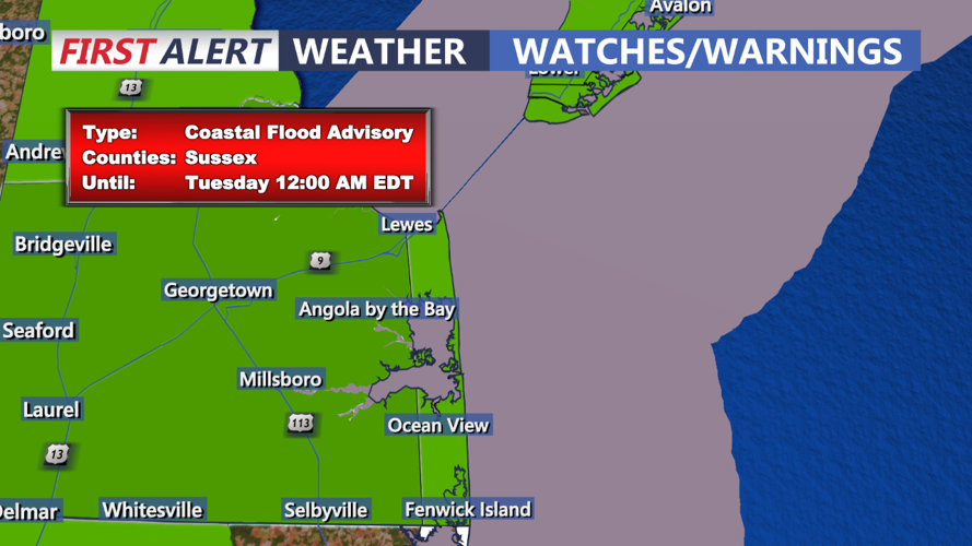
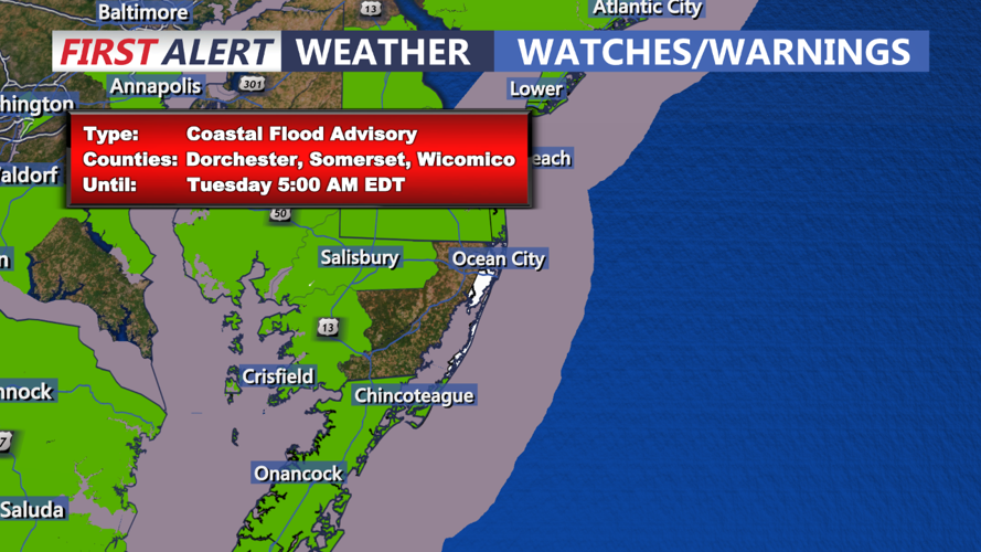
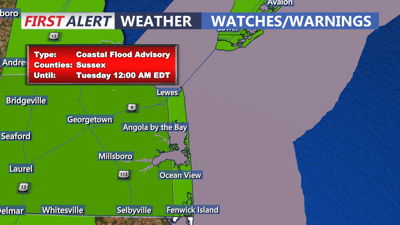
On Tuesday, the cloudy conditions will continue as the onshore flow persists, accompanied by scattered showers, particularly in the southern half of the region. Moisture from a nearby low-pressure system will contribute to these showers. Across the far north, there may be a few breaks in the clouds, allowing for some limited sunshine. High temperatures will be similar to today, generally ranging from the mid to upper 70s. Winds will be from the northeast to east at around 10 mph. Coastal flooding and beach erosion is likely over the next few days, waves will generally be 3-5 feet with the persistent east wind.
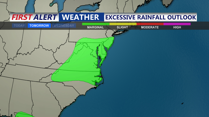
As we move into Tuesday night and Wednesday, the weather pattern becomes more influenced by the remnants of Potential Tropical Cyclone 8 and a secondary coastal low developing off the Carolinas. This secondary low will travel northward, paralleling the coastline but remaining offshore. The exact path of this system is still uncertain; a closer approach to the coast could bring heavier rainfall, while a more offshore track might keep most of the rain at sea. Despite this uncertainty, there is potential for tropical downpours due to high moisture levels, although the risk of flooding remains low given the dry conditions over the past few weeks.
The forecast for Wednesday night into Thursday remains uncertain due to differing model predictions. The GFS model suggests a deep trough over the East Coast, while the ECMWF model predicts a closed low overhead. Both scenarios could bring continued shower chances, but confidence in this precipitation occurring is low. Current expectations are for scattered showers with about a 20-40% chance of rain across the region. Total rainfall through Thursday could range from 0.50 to 1.00 inches. Temperatures will continue to be influenced by the tropical airmass, with highs in the 70s and lows in the 60s.

As we head into the latter part of the week, a blocking pattern aloft will likely maintain unsettled and cooler conditions. A deep trough is expected to linger near the East Coast through Saturday, leading to a continued threat of showers, particularly in southern areas. By the weekend, high pressure is expected to build to the north and east, potentially bringing drier and more tranquil weather for the weekend and early next week. Temperatures will generally stay below normal, with daytime highs in the 70s and nighttime lows in the 50s.
