







DELMARVA - A cold front will continue moving offshore late Friday evening, bringing an end to the threat of showers and thunderstorms across Sussex County and ushering in a quieter start to the weekend.
Any lingering shower or thunderstorm activity should diminish during the evening as drier air moves into the region. Skies will gradually clear overnight with light and variable winds. Temperatures will fall into the 60s by early Saturday morning.
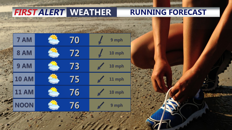
High pressure will build across the region Saturday, providing dry and pleasant conditions throughout Sussex County. Skies will be mostly sunny to partly cloudy with north to northeast winds around 5 mph.
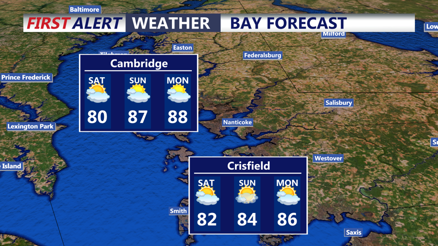
Afternoon temperatures are expected to climb into the lower 80s inland, while communities closer to the Delaware beaches should remain slightly cooler. Humidity levels will also be noticeably lower than they were Friday.
Beachgoers can expect generally favorable conditions along the Sussex County coast. Waves will be around 1 to 2 feet with east to northeast winds developing during the afternoon. The risk of dangerous rip currents at Delaware beaches is expected to remain low.
Dry weather should continue through Saturday evening. However, an upper-level disturbance approaching Sunday could bring another chance for scattered showers and thunderstorms, especially Sunday afternoon and evening.
Looking farther ahead, heat and humidity are expected to increase again early next week. High temperatures could reach the upper 80s to lower 90s, with more unsettled weather and possible thunderstorms developing by Tuesday and Wednesday.
