


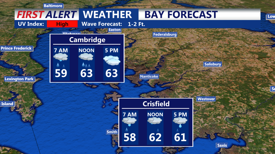


DELMARVA - On Saturday, a disorganized shortwave will move from the upper Ohio Valley across the Middle Atlantic region, accompanied by a weak surface low. Clouds will dominate much of the day, with scattered to numerous showers across the area. Better chances for rain will be across Delmarva and coastal Delaware, close to the lift associated with the low/shortwave. It will remain cool with the clouds and rain, with high temperatures likely reaching the low/mid 60s. Winds will be light from the East or Southeast for most of the day. Surface high pressure will extend southward into our area late Saturday night and Sunday, confining most of the energy to the south and ending shower chances after Saturday evening. Lingering low-level moisture may result in patchy fog from Saturday night into early Sunday. By Sunday afternoon, expect at least some sunshine to return, with high temperatures reaching the 70s for many inland areas. A lingering onshore flow will keep it cooler closer to the coast.
As an upper-level ridge starts to build over the area Monday, surface high pressure will become more centered across our region. Increasing subsidence and drier air should reduce cloud cover for most of the region. The air mass will continue to modify, with afternoon high temperatures again forecasted to reach the 70s for much of the area. A northeast wind should turn east to southeast as a sea breeze becomes more established, keeping it cooler near the coast on Monday.